
Manaslu Circuit and Tsum Valley Trek
Twenty-one days that join our two Manaslu-region routes into one trip. You walk up the Tsum Valley first, through Chumling, Chhokangparo and Nile to Mu Gompa near the Tibet border, then drop back to the Budhi Gandaki and follow the full Manaslu Circuit over the 5,106m Larkya La. The week in Tsum does double duty: it's the most peaceful part of the trip and the best acclimatization you could ask for before the pass.
- Duration
- 21 Days
- Max Altitude
- 5,106m
- Grade
- Challenging
- Price
- On request
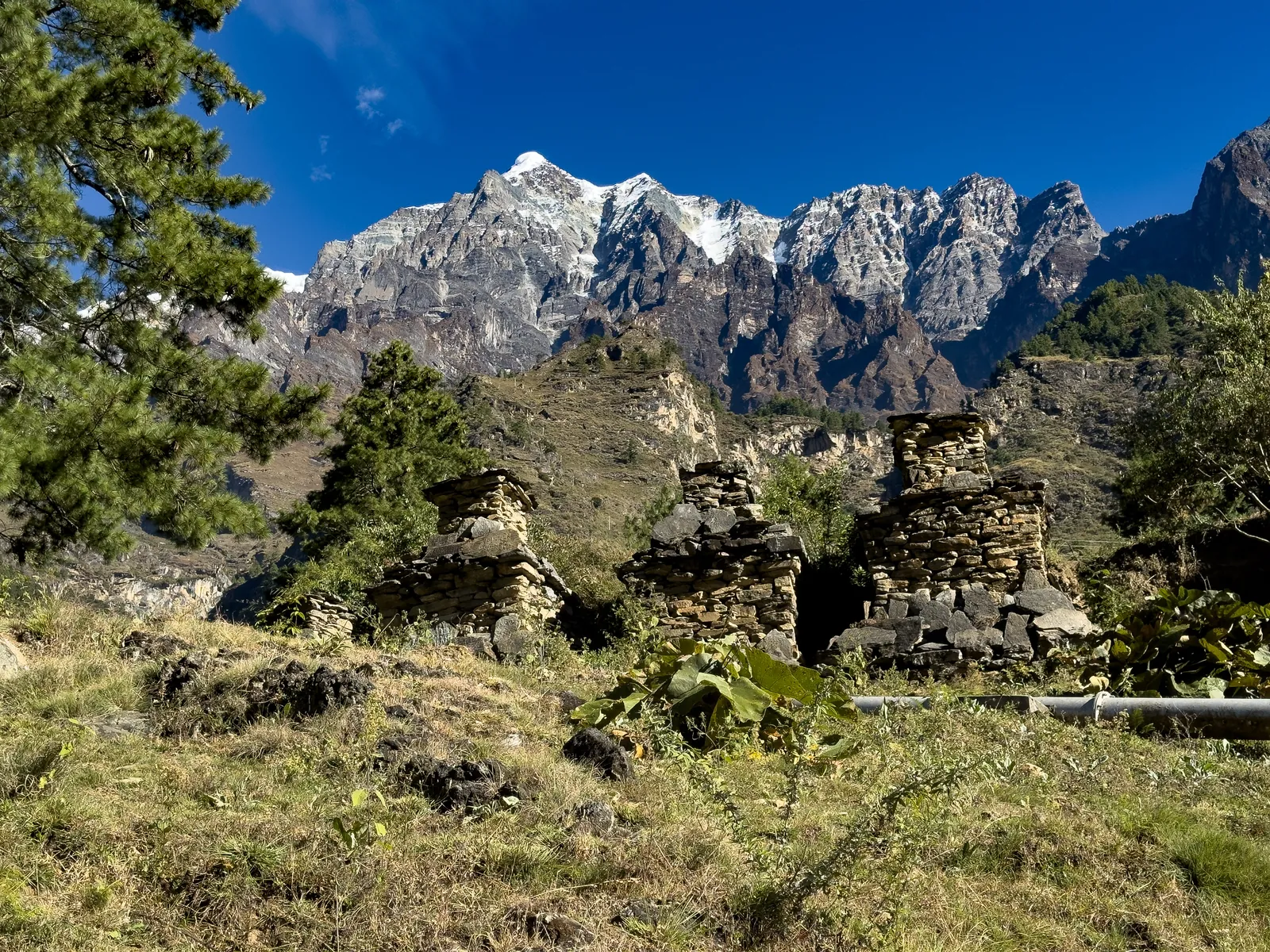
Photo: Remote Nepal Treks.
Manaslu and Tsum Valley highlights
- Two restricted areas on one permit-handled trip: the Tsum Valley side valley and the full Manaslu Circuit.
- Reach Mu Gompa, Tsum's highest monastery at about 3,700m, close to the Tibet border.
- Stay in Chumling, Chhokangparo and Nile, then the Tibetan villages of the Nubri valley: Namrung, Lho and Samagaon.
- Watch Manaslu's summit ridge fill the sky from the gompa terrace at Lho.
- Cross the 5,106m Larkya La after a week in Tsum has already acclimatized you, plus a full rest day at Samagaon.
- Travel with a licensed guide the whole way, with both RAPs, the MCAP and the ACAP filed before you land.
Manaslu Circuit and Tsum Valley overview
The Manaslu Circuit and the Tsum Valley Trek share the same first days: the drive to Machha Khola and the walk up the Budhi Gandaki gorge to Jagat. Past Philim the trails split. This trip takes both branches, one after the other.
You go into Tsum first. It's a restricted Tibetan-culture valley of mani walls, chortens and gompas, and the walk up through Chumling, Chhokangparo and Nile to Mu Gompa is gentle by Himalayan standards. Then you come back down to the Budhi Gandaki, pick up the Manaslu Circuit at Deng, and follow it through the Nubri valley to Samagaon, Samdo and Dharamsala before crossing the Larkya La to Bimtang.
Doing Tsum first isn't just scenic. By the time you reach the higher villages of the circuit you've already slept at 3,361m in Nile and walked up to about 3,700m at Mu Gompa, so the climb to the pass builds on altitude you've already earned. Every night is in a teahouse or basic lodge, and a licensed guide walks the whole route with you.
Both regions are restricted areas, so you'll see far fewer trekkers than on the Everest or Annapurna trails. Three weeks of that quiet is the real point of this trip.
Permits & logistics
Permit Stack
- → Restricted Area Permit (RAP), Tsum Valley: issued only through a licensed agency.
- → Restricted Area Permit (RAP), Manaslu: priced by season, also issued only through a licensed agency.
- → Manaslu Conservation Area Permit (MCAP): checked at Jagat, then again at Namrung.
- → Annapurna Conservation Area Permit (ACAP): needed because the route finishes through Dharapani.
Group & Guide
- → Minimum 2 trekkers per group, because the Tsum Valley RAP requires it.
- → One licensed guide for the full route, plus porters for group gear.
Manaslu Circuit and Tsum Valley itinerary: day by day
All 21 days, open by default: up the Budhi Gandaki into Tsum and Mu Gompa, back out to Deng, then around the Manaslu Circuit and over the Larkya La. Day photos: Remote Nepal Treks on the circuit, March–April 2023, and our Tsum photos below. Tap a thumbnail to enlarge.
- Max altitude
- 5,106m
- Days on the trail
- 16
Detailed day-by-day
01 Arrival in Kathmandu
You'll land at Tribhuvan International Airport and head to your hotel, where our team meets you for a trip briefing — the permit paperwork we've already filed, a gear check, and a walk-through of the route ahead. In the evening, a welcome dinner is where you'll meet your guide.
1,400m · Overnight: Hotel
02 Drive Kathmandu to Machha Khola
An early start takes you west out of the Kathmandu Valley on a mountain road toward Arughat, then along the Budhi Gandaki to the trailhead village of Machha Khola. It's a long day in the vehicle — 8–9 hours including stops — but your first taste of the gorge you'll be following for the next few days.
869m · ▼ 531m net · Overnight: Teahouse
03 Machha Khola to Jagat
You'll follow the Budhi Gandaki through the villages of Khorlabesi and Tatopani, where the natural hot springs make a great excuse for a break before the final climb into Jagat. This is also your first Restricted Area Permit checkpoint — officials log your paperwork here before you head deeper into the region.
1,340m · ▲ 471m · ~22km · 6–7 hrs · Overnight: Teahouse
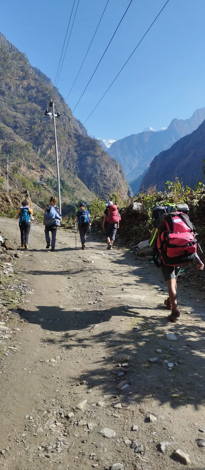
04 Jagat to Lokpa
Past Philim, you leave the main Manaslu route for now and turns into the Tsum side valley. The gorge narrows and the path climbs through forest to Lokpa, your gateway to Tsum.
2,240m · ▲ 900m · 6–7 hrs · Overnight: Teahouse
05 Lokpa to Chumling
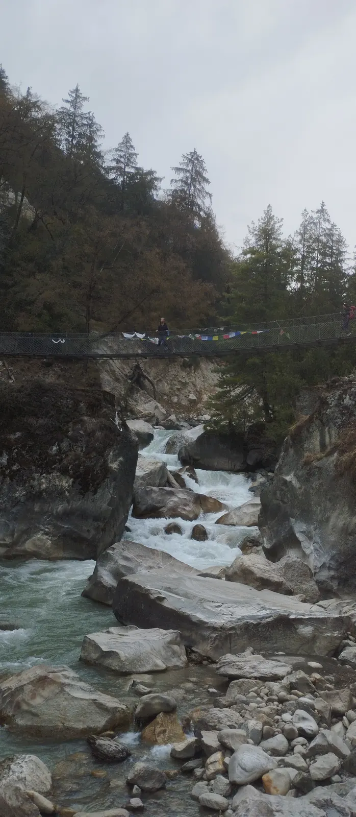
A shorter day: you'll cross suspension bridges and climb steadily into Lower Tsum. Chumling is the first Tsum village, and there's time in the afternoon to explore its mani walls, chortens and gompa.
2,386m · ▲ 146m · 4–5 hrs · Overnight: Teahouse
06 Chumling to Chhokangparo
You'll walk through Tibetan-style villages and barley fields on the climb to Chhokangparo, the largest village in Upper Tsum — with views toward Ganesh Himal and Sringi Himal if the day is clear.
3,010m · ▲ 624m · 5–6 hrs · Overnight: Teahouse
07 Chhokangparo to Nile
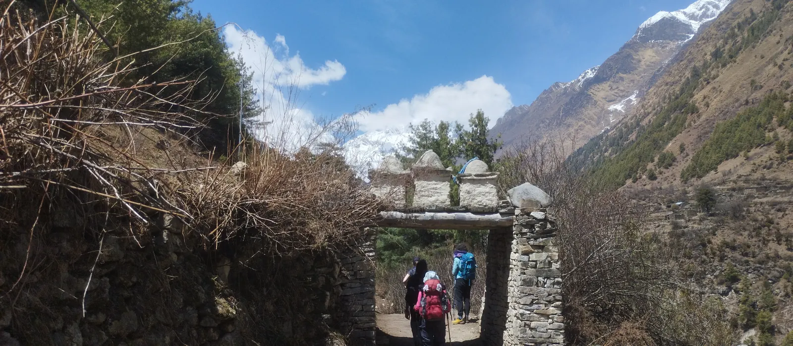
Continue up the valley past Rachen Gompa, a nunnery close to Chhokangparo, then through Lamagaon and Chhule to Nile. The valley opens up here, with mani walls lining the trail between villages.
3,361m · ▲ 351m · 5–6 hrs · Overnight: Teahouse
08 Nile to Mu Gompa, return to Chhokangparo
The trek's high point, and its longest day. A steady climb brings you to Mu Gompa, the valley's highest monastery, close to the Tibet border at about 3,700m. After some time there, you'll head back down the valley to sleep lower at Chhokangparo — climb high, sleep low.
3,010m · high point 3,700m · 8–9 hrs · Overnight: Teahouse
09 Chhokangparo to Chumling
A long, satisfying descent through the villages of Upper and Lower Tsum, with a chance to stop again at the gompas you passed on the way up.
2,386m · ▼ 624m · 5–6 hrs · Overnight: Teahouse
10 Chumling to Deng
You'll walk out of Lower Tsum past Lokpa and rejoin the main Budhi Gandaki trail, then turn north onto the Manaslu Circuit and climb to Deng. From here the route is the classic circuit, and the days you spent up at Mu Gompa mean you arrive already well acclimatized.
1,860m · ▼ 526m net · Overnight: Teahouse
11 Deng to Namrung
Crossing into the Nubri valley, you'll start passing through Tibetan villages with their own distinct architecture and prayer wheels lining the trail. Namrung is where your Manaslu Conservation Area Permit gets checked, and on a clear afternoon, it's also where you'll catch your first real mountain views of Siring and Simnang Himal.
2,630m · ▲ 770m · ~19km · 5–6 hrs · Overnight: Teahouse
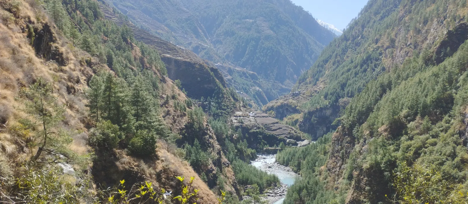
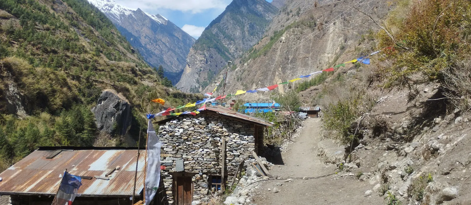
12 Namrung to Lho
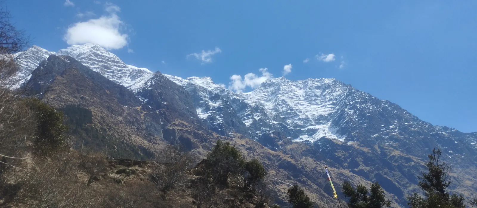
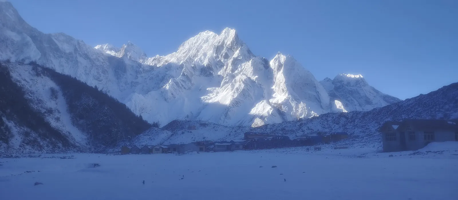
A shorter, easier day through the villages of Lihi and Sho brings you to Lho, home to a gompa terrace many trekkers call the best single viewpoint on the whole circuit — Manaslu's summit ridge fills the sky here, close enough that it feels within reach.
3,180m · ▲ 550m · ~13km · 4–5 hrs · Overnight: Teahouse
13 Lho to Samagaon
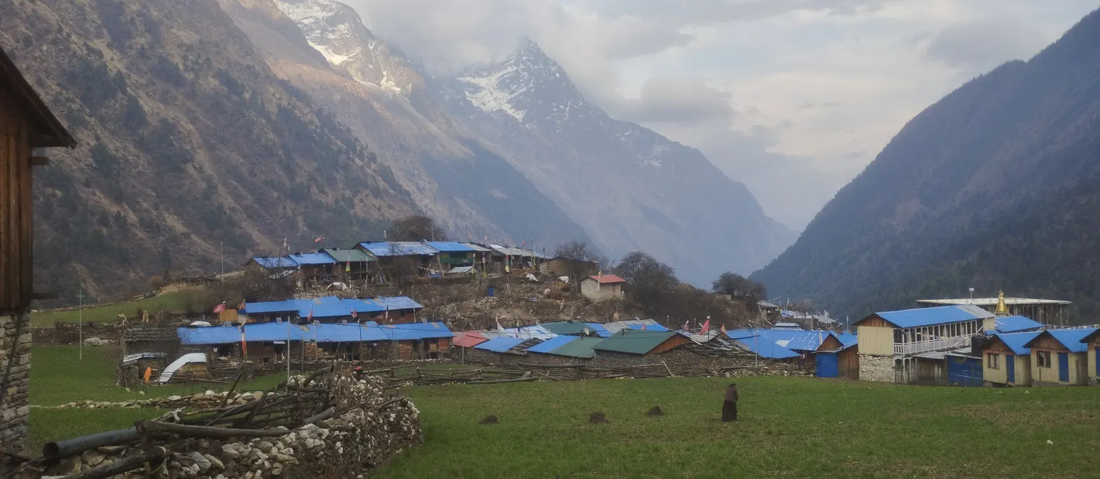
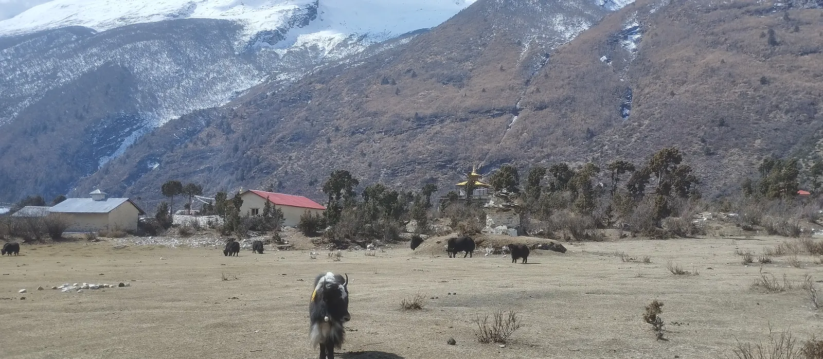
A short, easy day brings you into Samagaon, the largest village on the route and the place where your acclimatization days properly begin. Spend the afternoon exploring the village monastery and watching the light change on Manaslu.
3,530m · ▲ 350m · ~8km · 3–4 hrs · Overnight: Teahouse
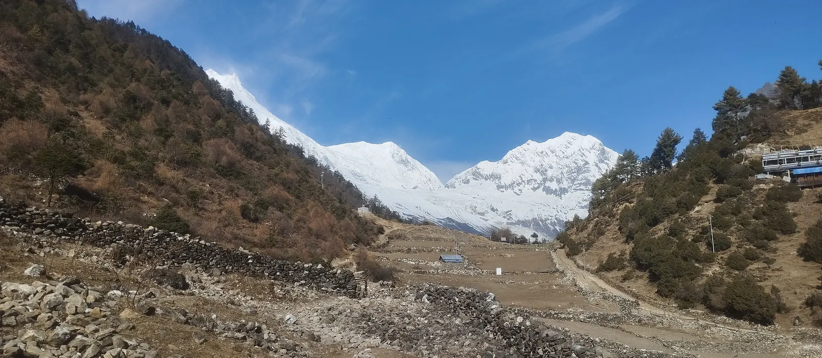
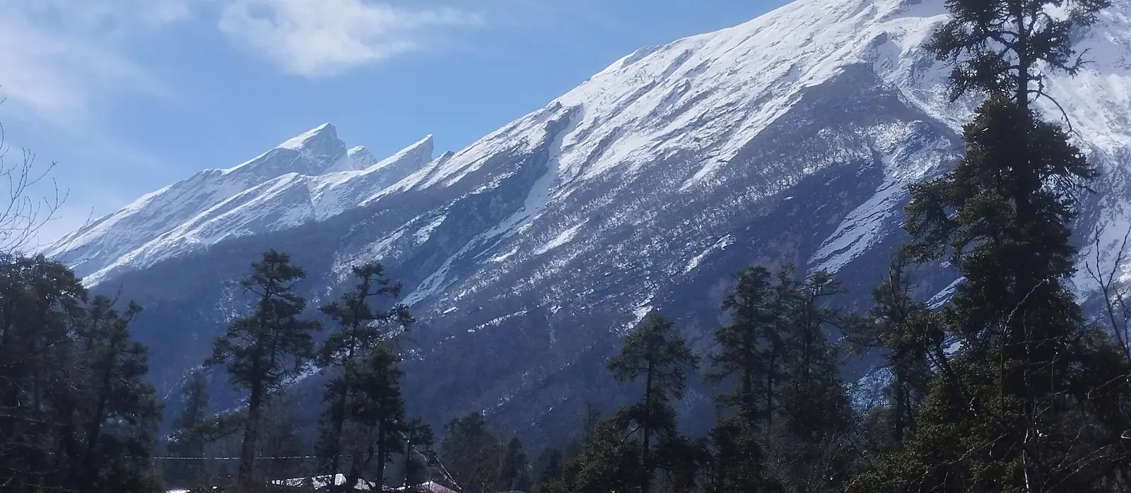
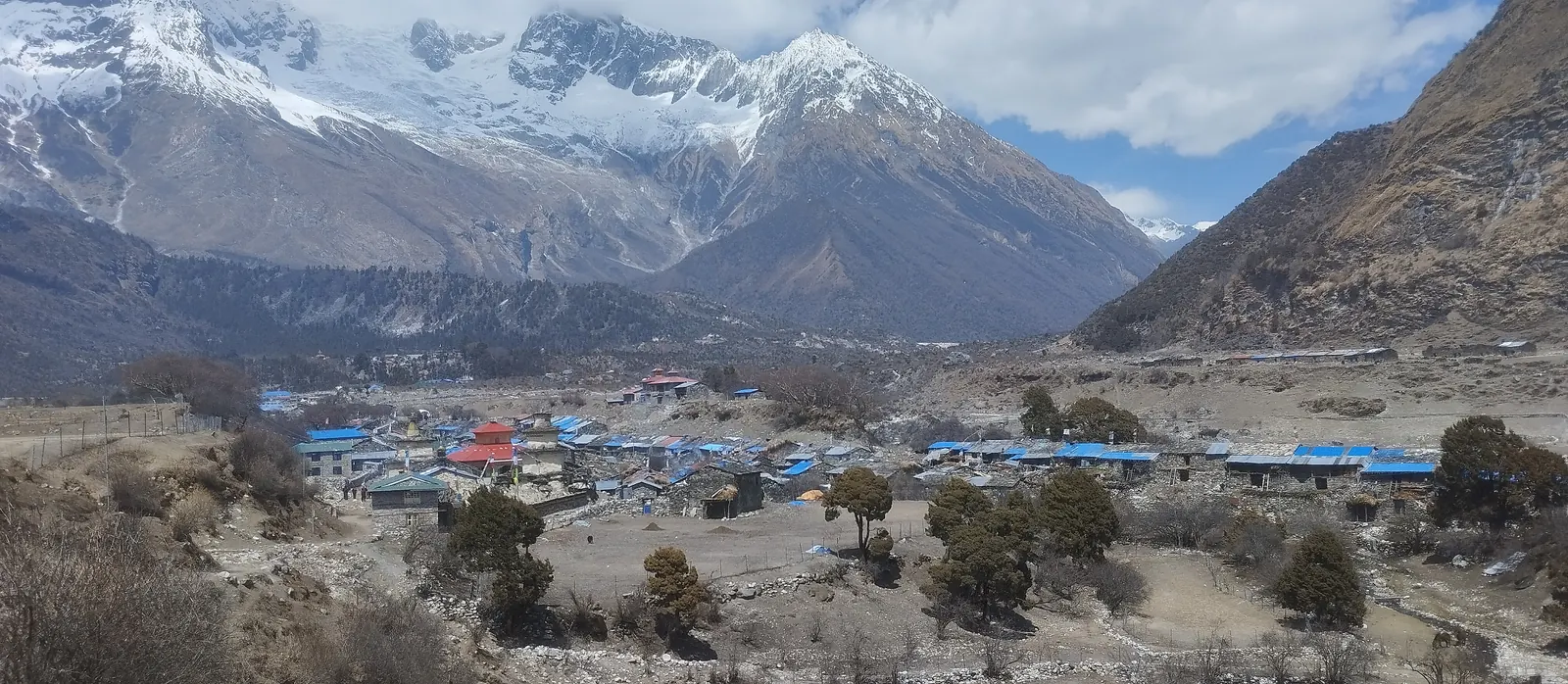
14 Samagaon — acclimatization day
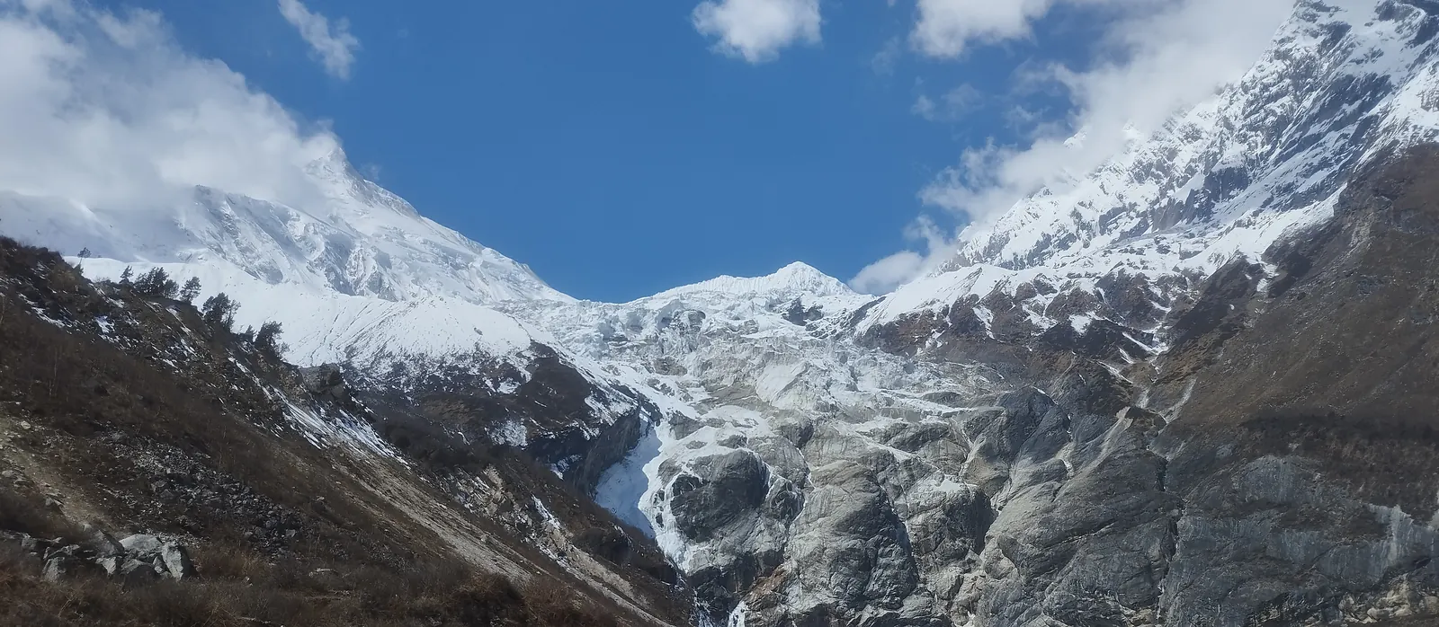
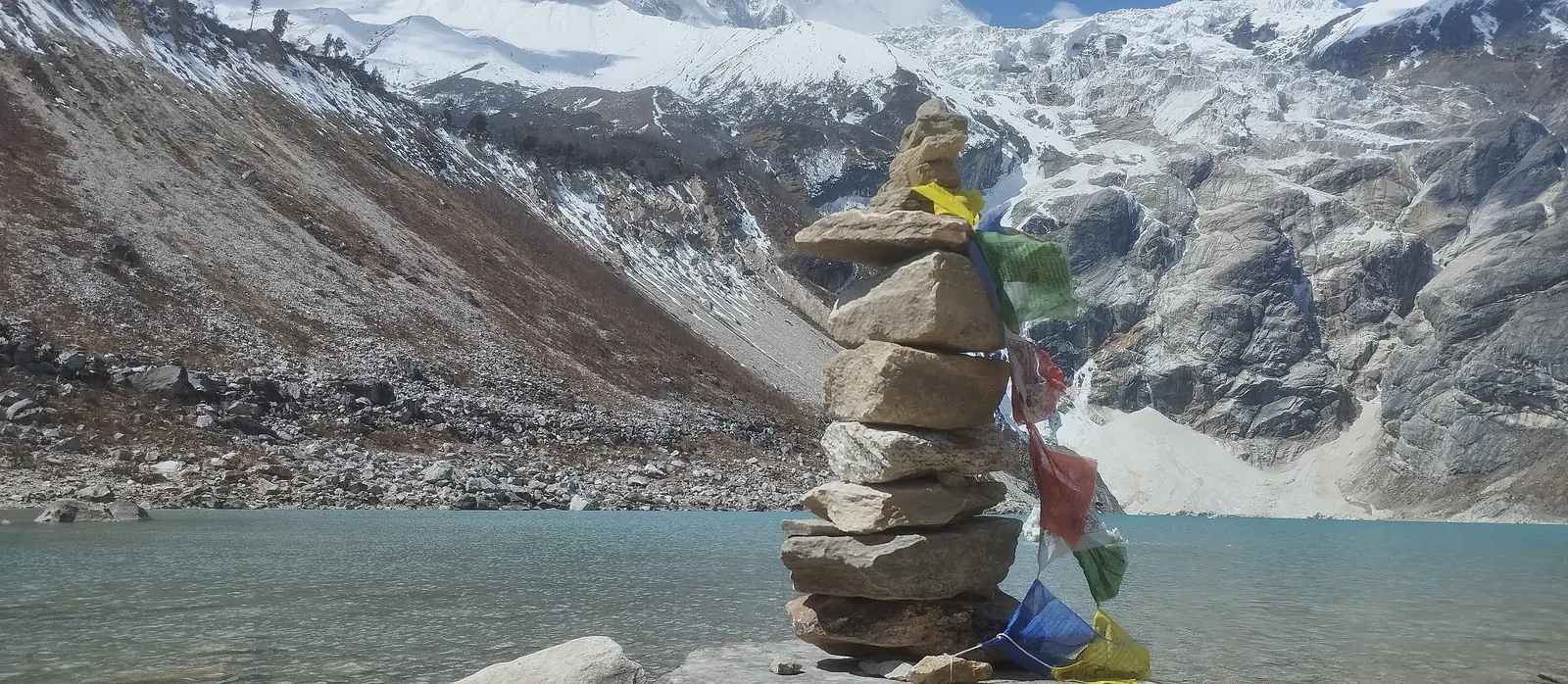
Your rest day comes with an optional side trip: hike toward Manaslu Base Camp (around 4,800m/15,748ft) or take the shorter walk to Pungyen Gompa, whichever you prefer. Either way, you'll come back to Samagaon for a second night at the same altitude, giving your body time to catch up before you go any higher.
3,530m · Acclimatization · Overnight: Teahouse
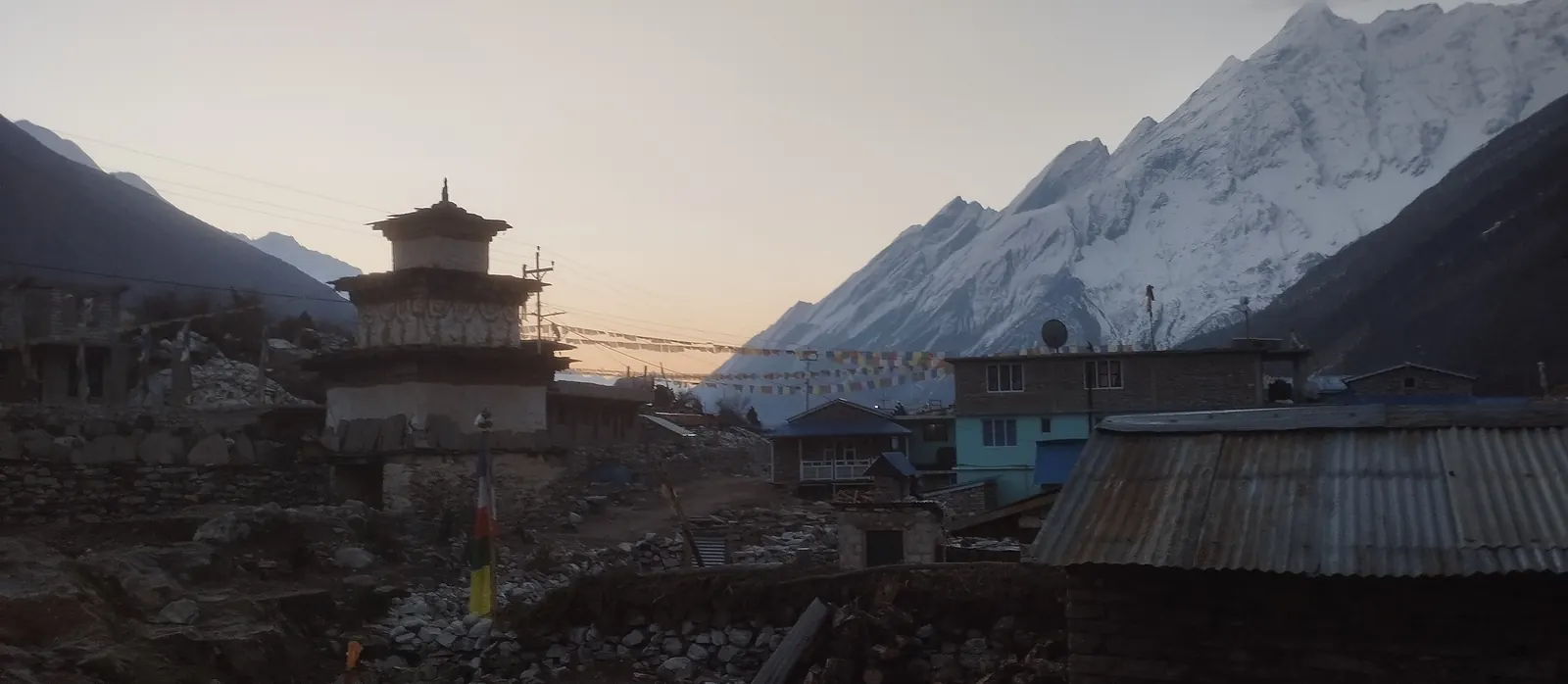
15 Samagaon to Samdo
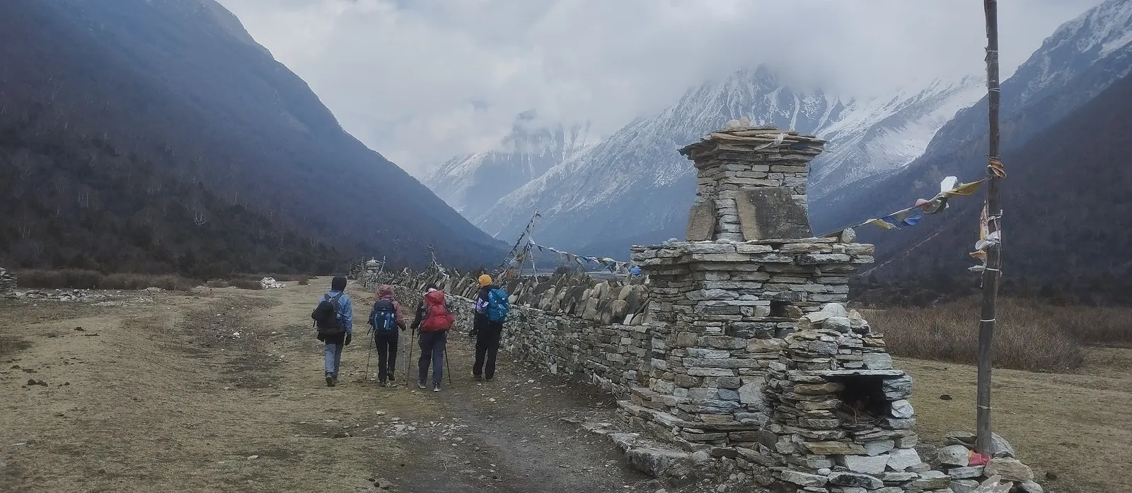
A short day crossing the Budhi Gandaki on a high bridge brings you to Samdo, the last real village before the pass. You can still see an active trade trail running from here toward the Tibet border, just beyond.
3,860m · ▲ 330m · ~10km · 4 hrs · Overnight: Teahouse
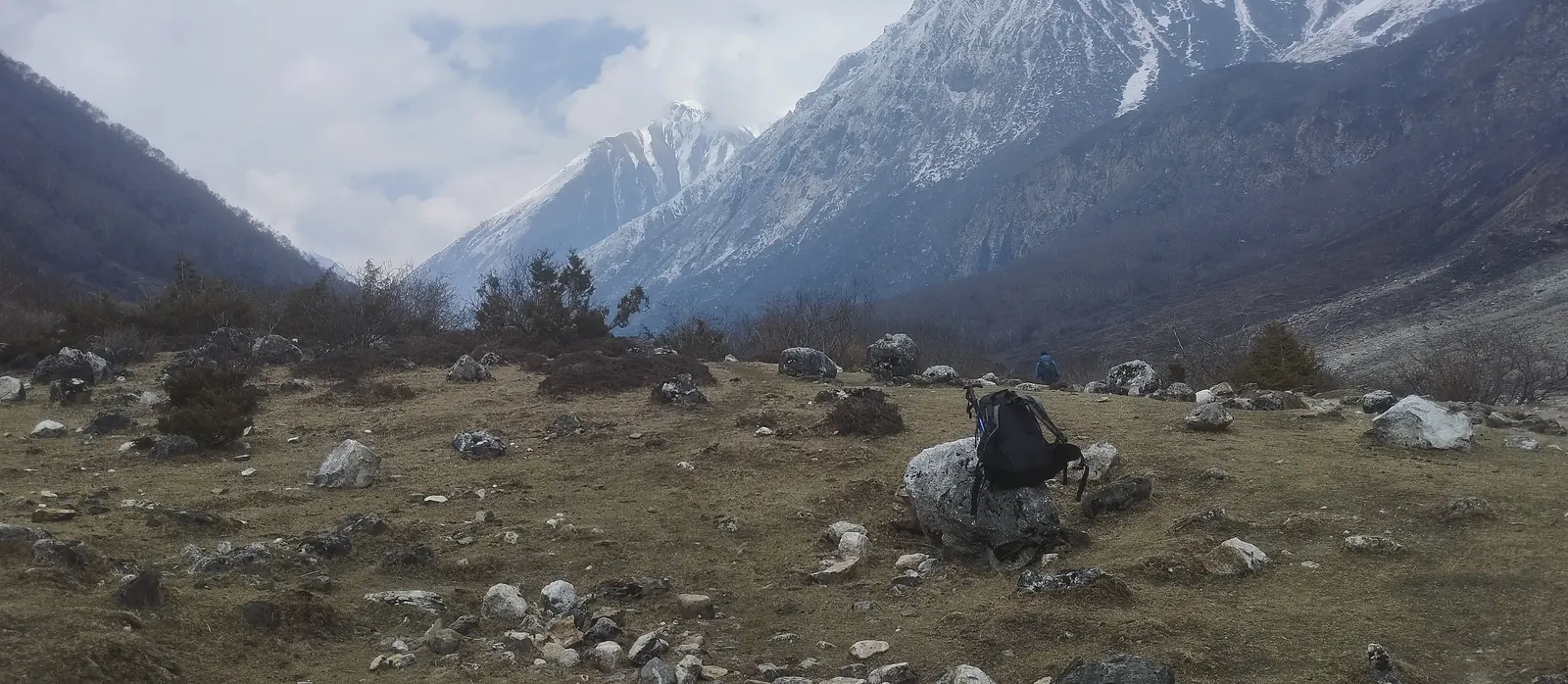
16 Samdo to Dharamsala (Larke Phedi)
A short, steady climb brings you to the basic lodges at Dharamsala, right below the pass. Plan on an early dinner and an early night here — tomorrow's crossing starts well before sunrise.
4,460m · ▲ 600m · ~7km · 3–4 hrs · Overnight: Basic Lodge
17 Larkya La crossing (5,106m/16,752ft) to Bimtang
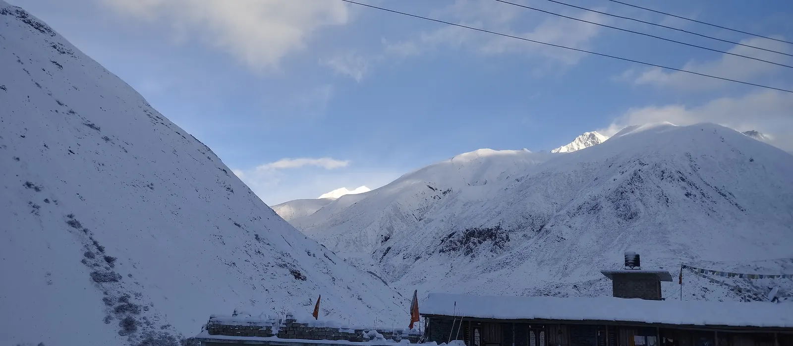
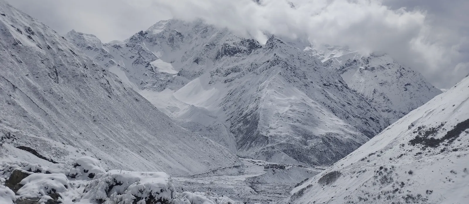
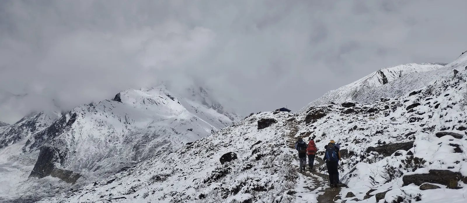
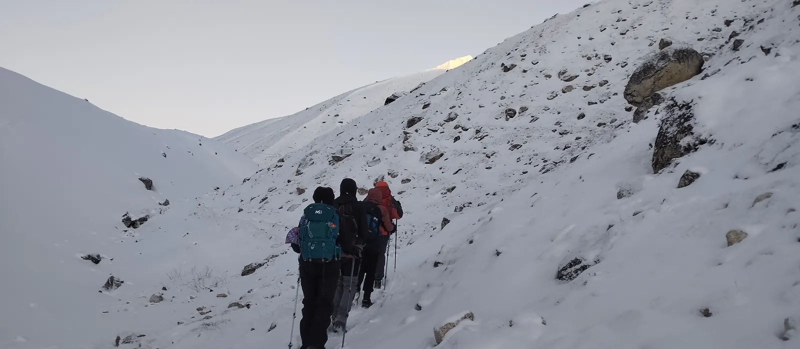
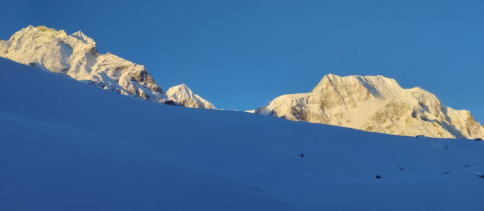
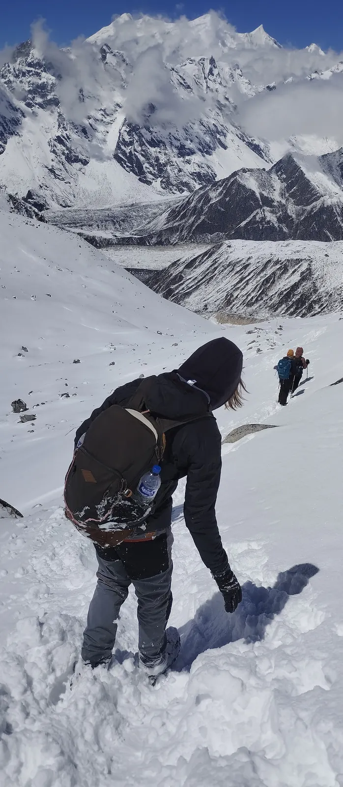
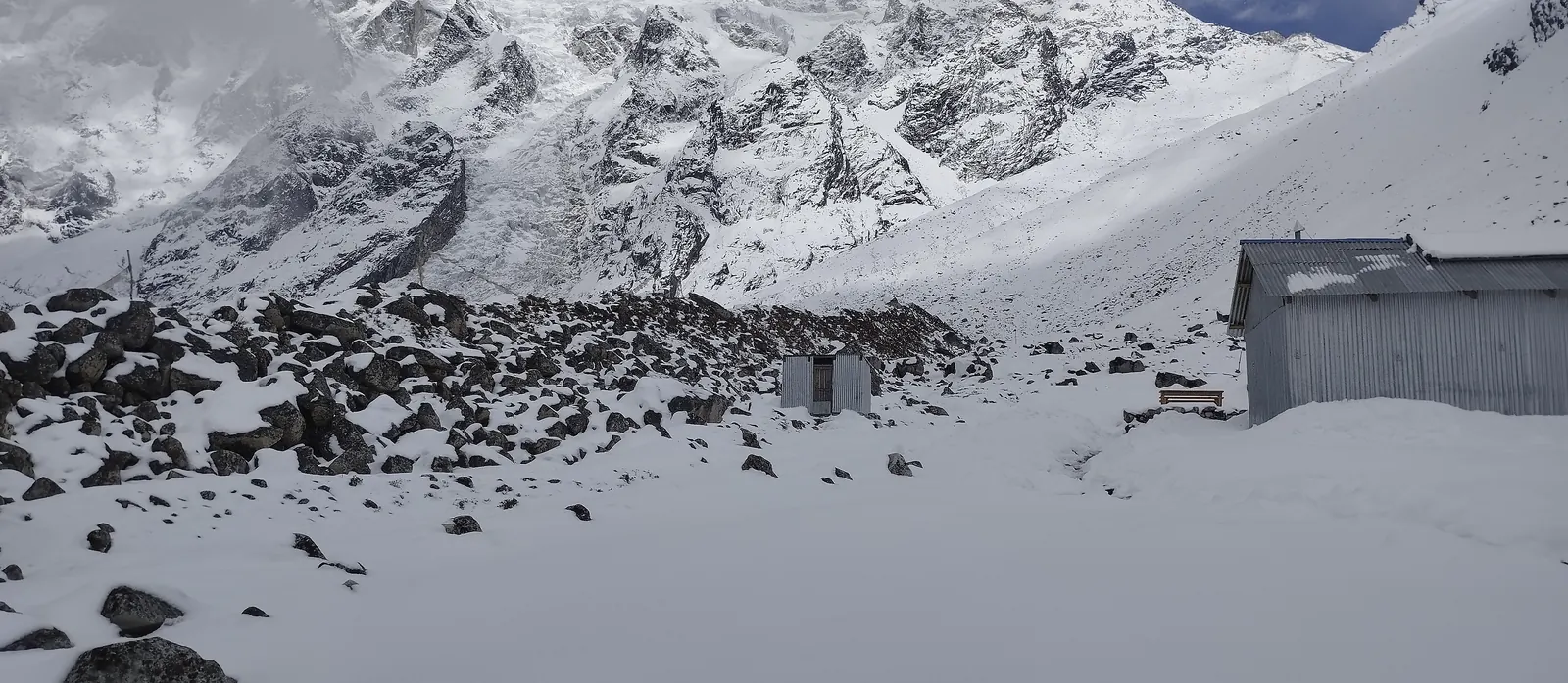
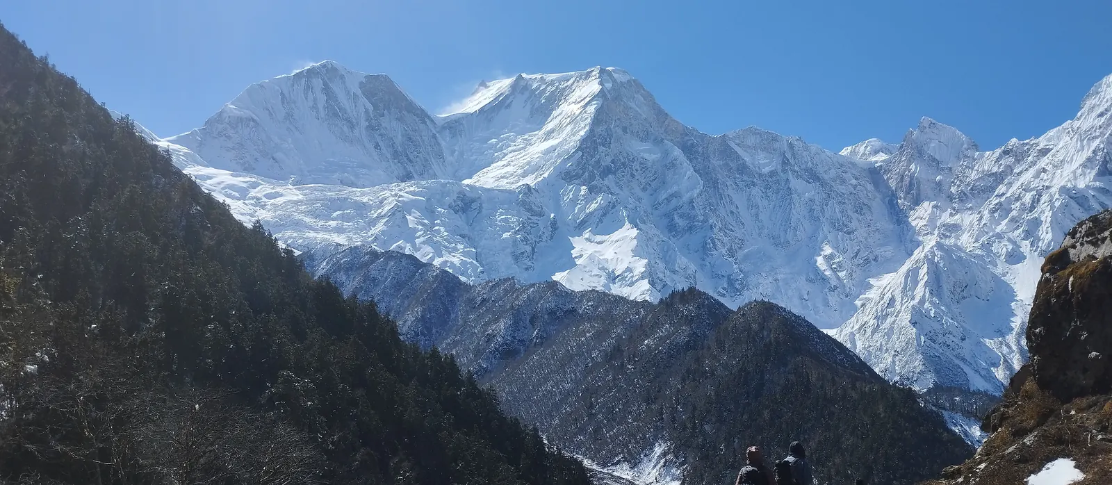
This is the day the whole trip builds toward. You'll set out by headlamp to clear the pass before the afternoon wind picks up, climbing steadily through cold, thin air — nothing technical, but it does take real effort. From the top, you get a wide panorama that takes in Himlung, Cheo, and Annapurna II. The long descent into Bimtang's glacial meadow, with Manaslu's west face rising behind you, is the reward for the work it took to get here.
3,720m · ▲ 646m then ▼ 1,386m · ~26km · 8–9 hrs · Overnight: Teahouse
18 Bimtang to Tilije
A long, satisfying descent through pine and rhododendron forest drops you out of the high country fast, with views opening up west toward the Annapurna range as the trail gets steeper.
2,300m · ▼ 1,420m · ~22km · 6–7 hrs · Overnight: Teahouse
19 Drive Tilije to Besisahar
The walking is done. A jeep picks you up in Tilije and runs down through Dharapani, where the Annapurna Conservation Area Permit checkpoint wraps up your paperwork, then follows the Marsyangdi valley out to Besisahar for a proper hot shower and a night off the trail.
760m · ▼ 1,540m · 4–5 hrs by jeep · Overnight: Hotel
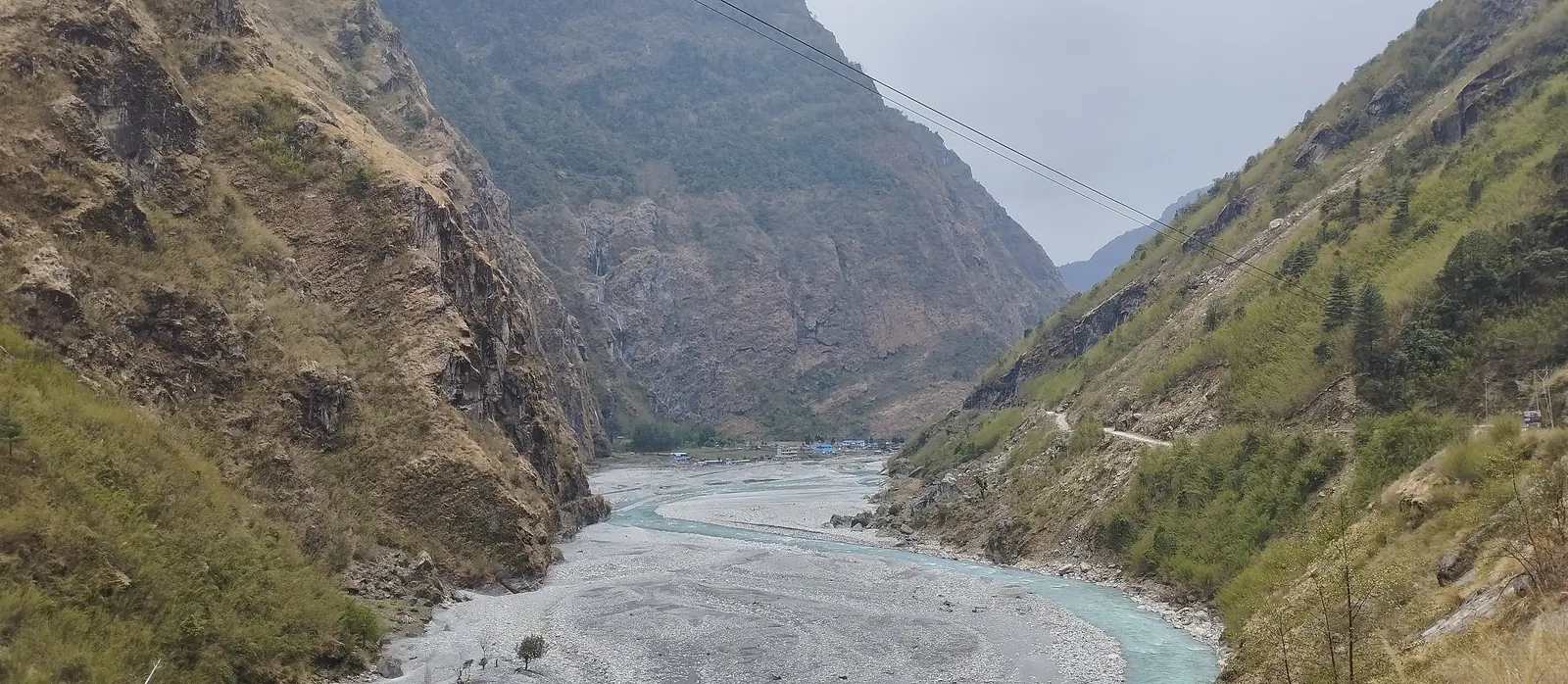
20 Drive Besisahar to Kathmandu
A full day on the Prithvi Highway back to Kathmandu, following the Marsyangdi and then the Trishuli river. Traffic around Mugling and the Kathmandu valley rim sets the pace, so plan on arriving late afternoon.
1,400m · ~175km · 7–8 hrs by road · Overnight: Hotel
21 Kathmandu — departure
This day is a built-in buffer in case Day 20's road conditions cause delays. If everything ran on schedule, feel free to explore Kathmandu or just rest up before your flight home.
From our Tsum Valley trek
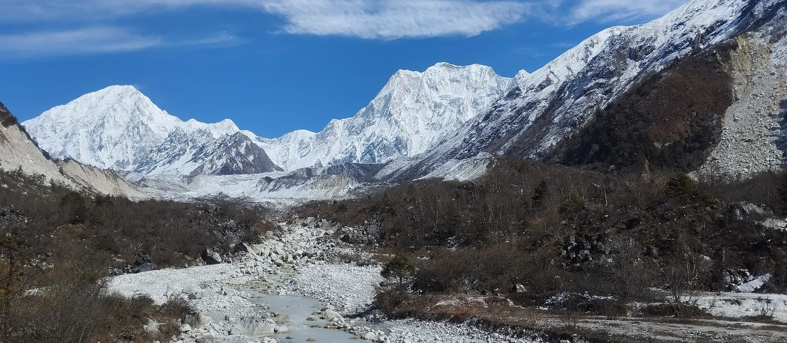
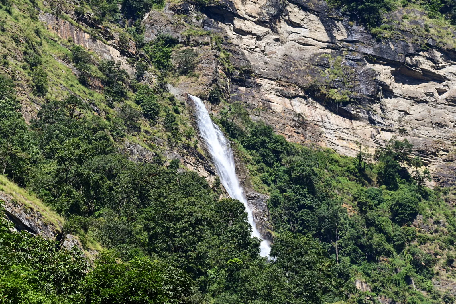
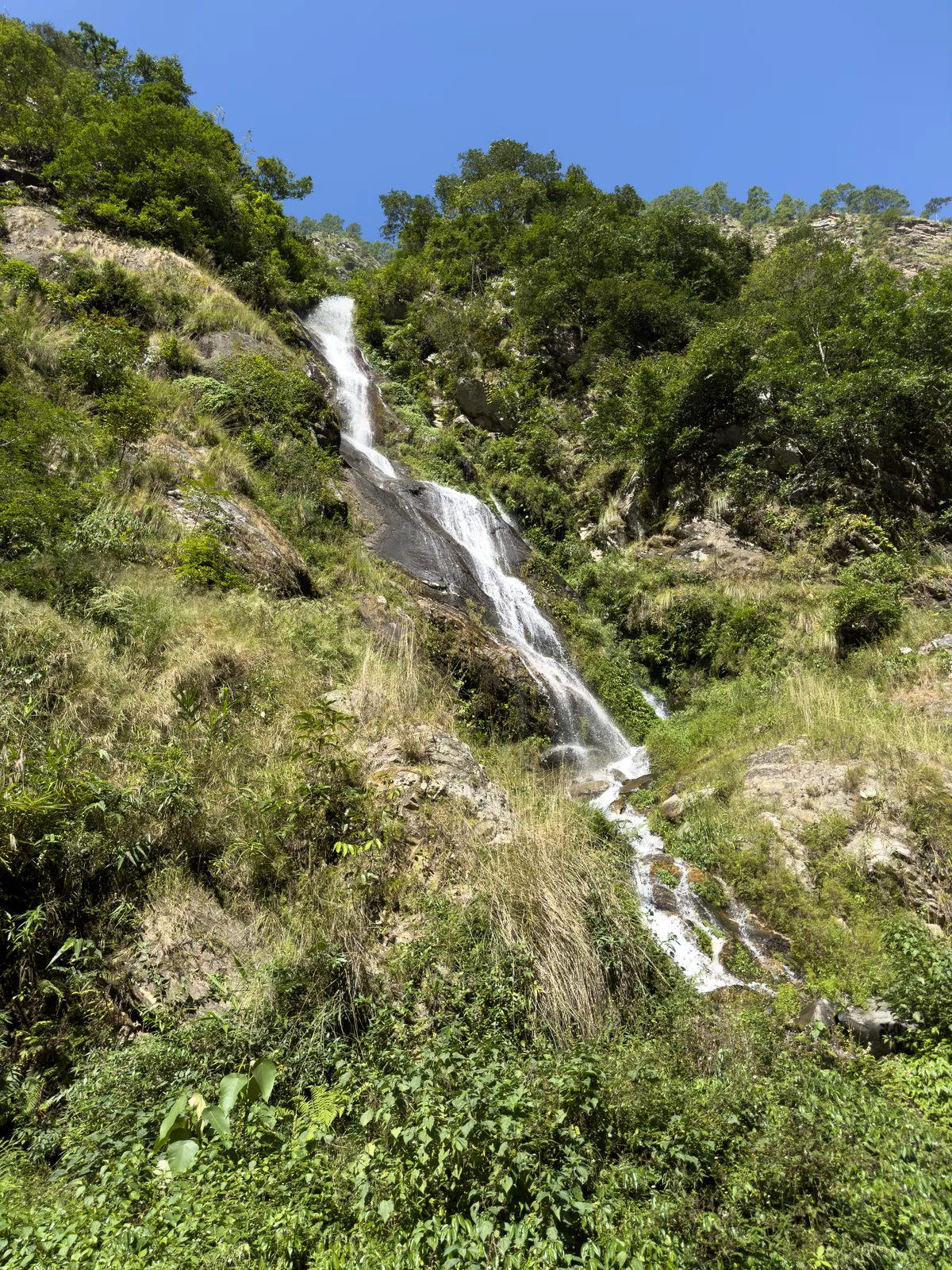
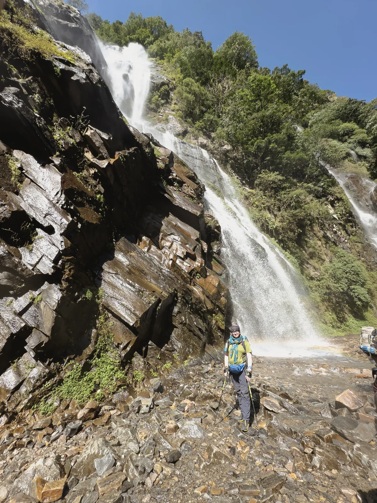
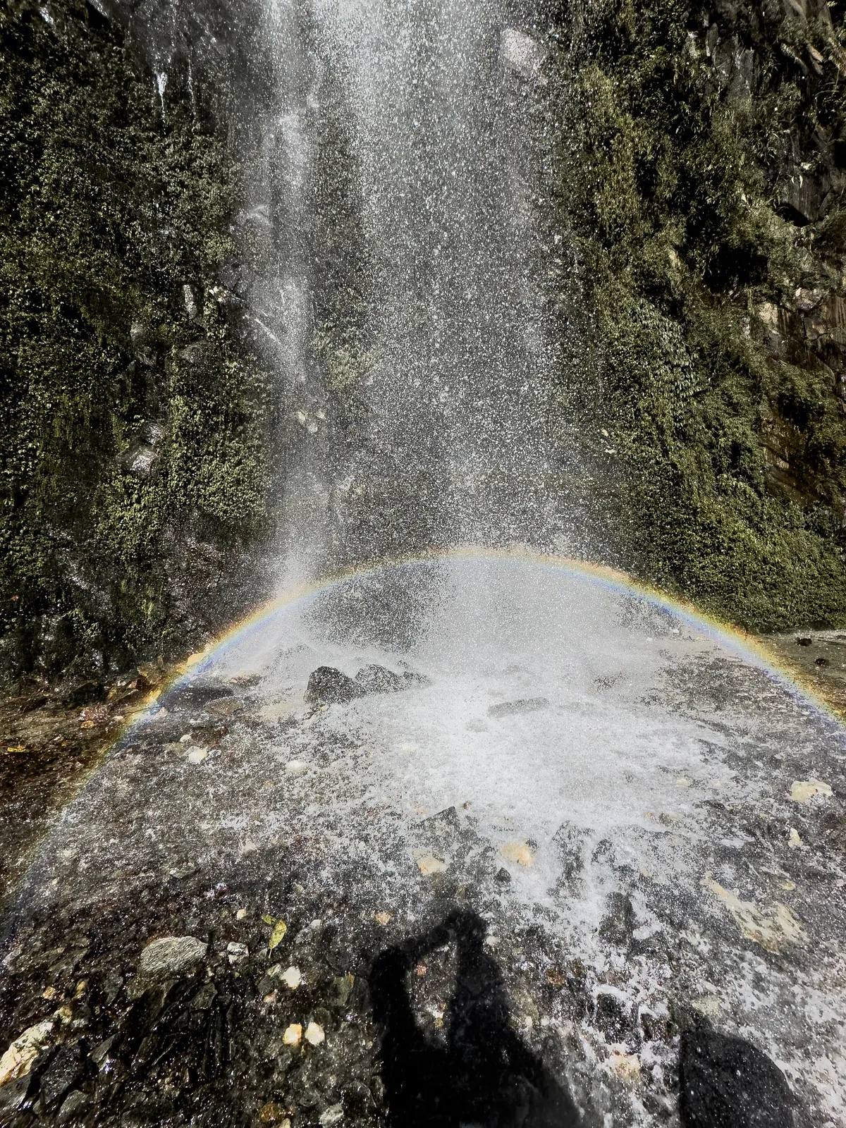
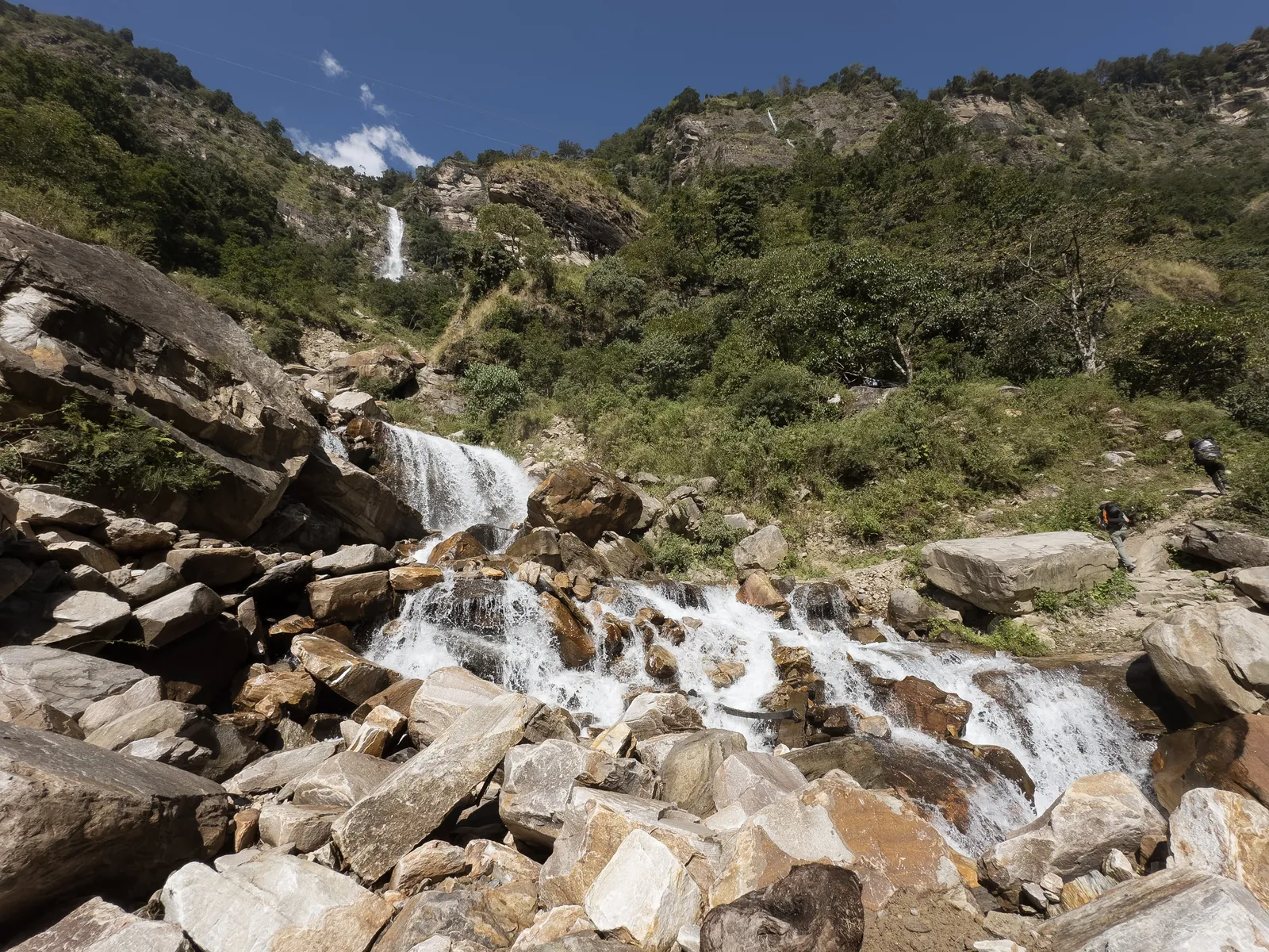
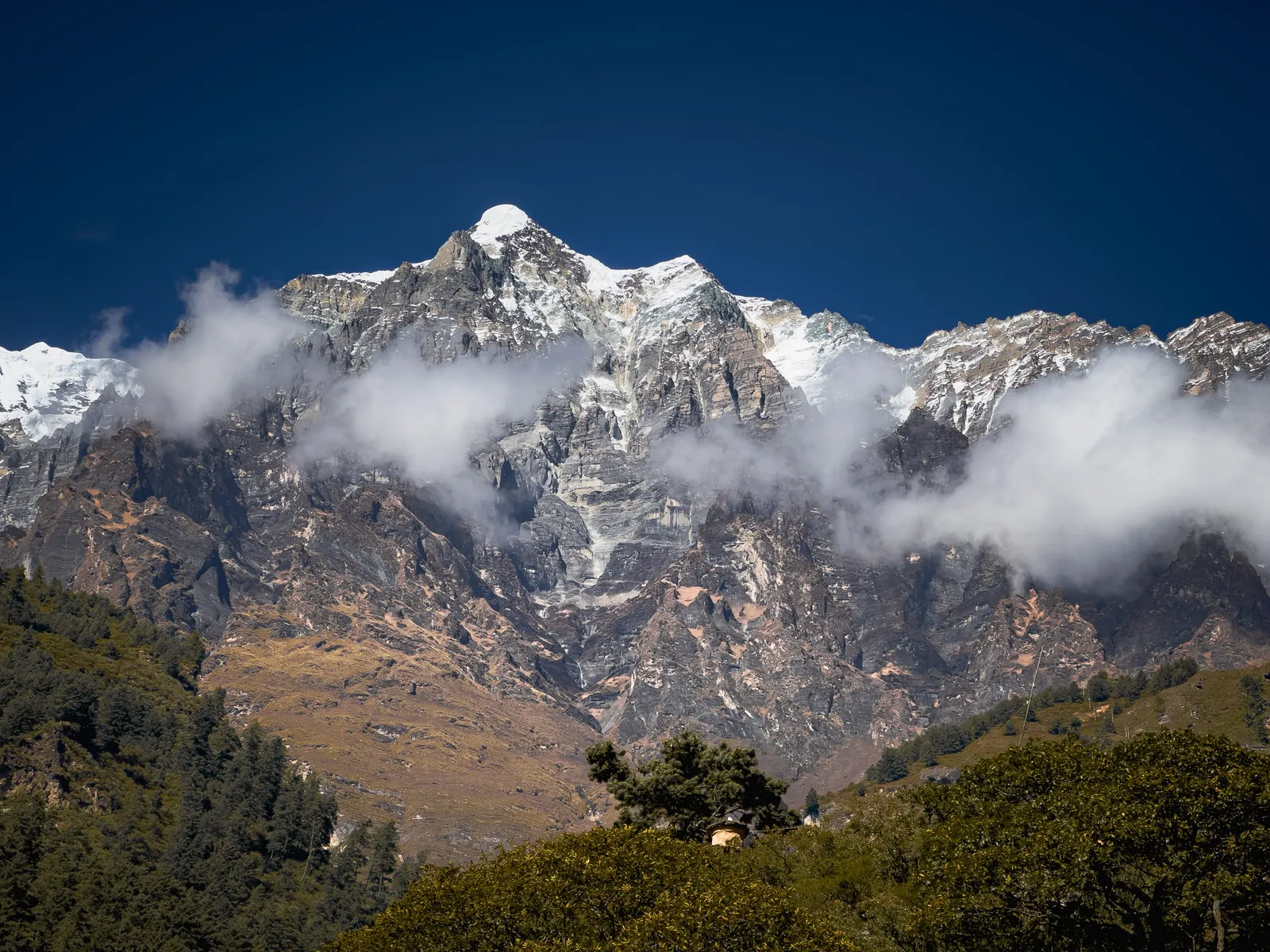
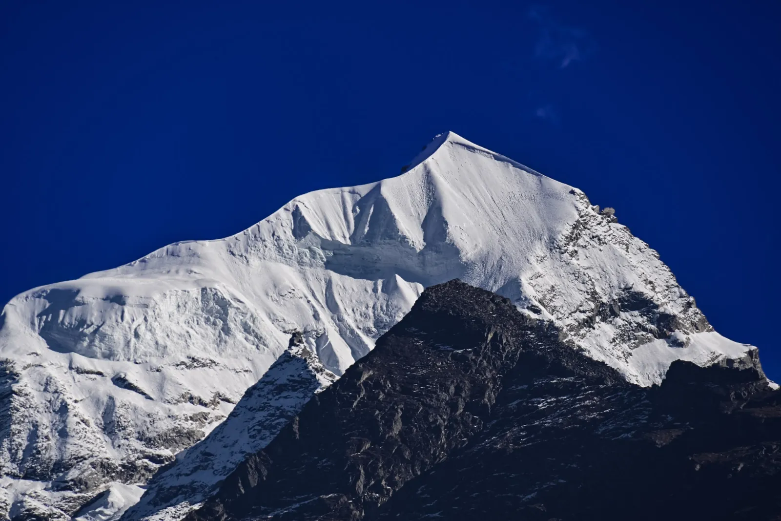
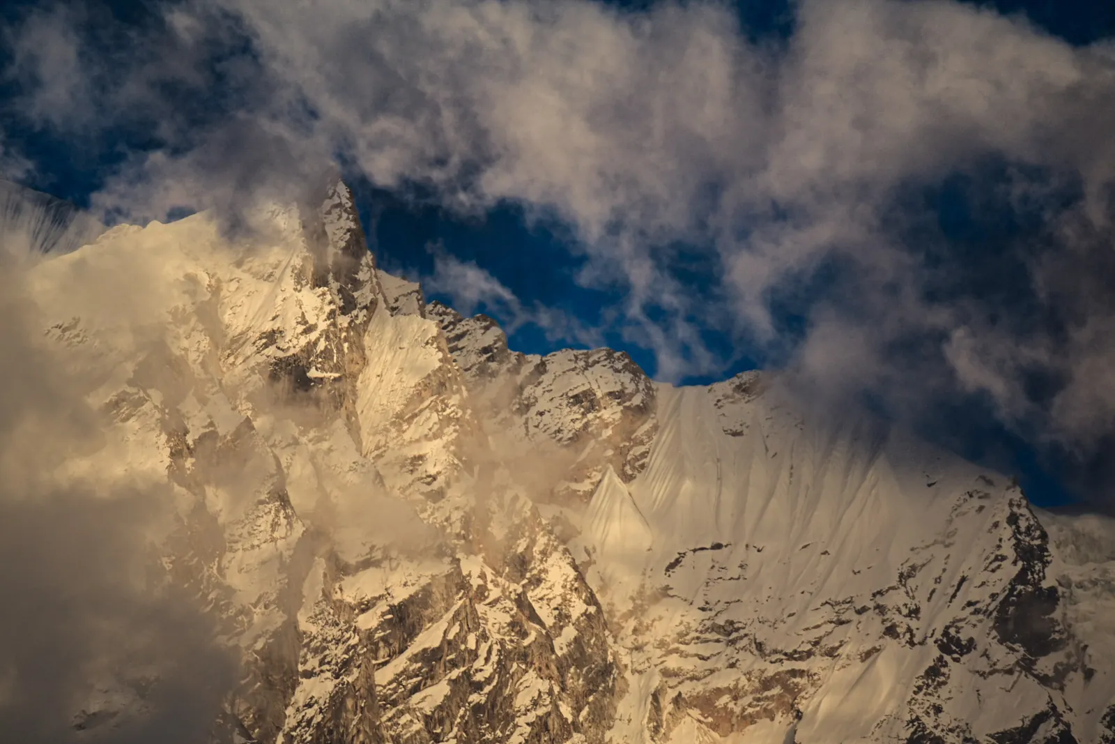
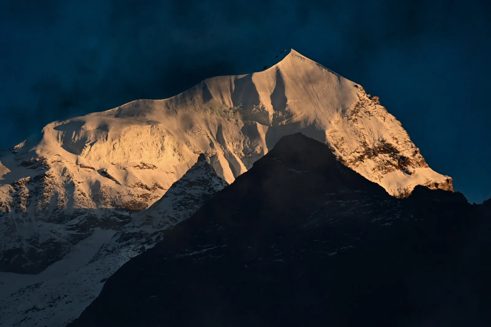
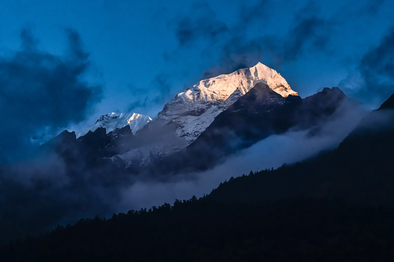
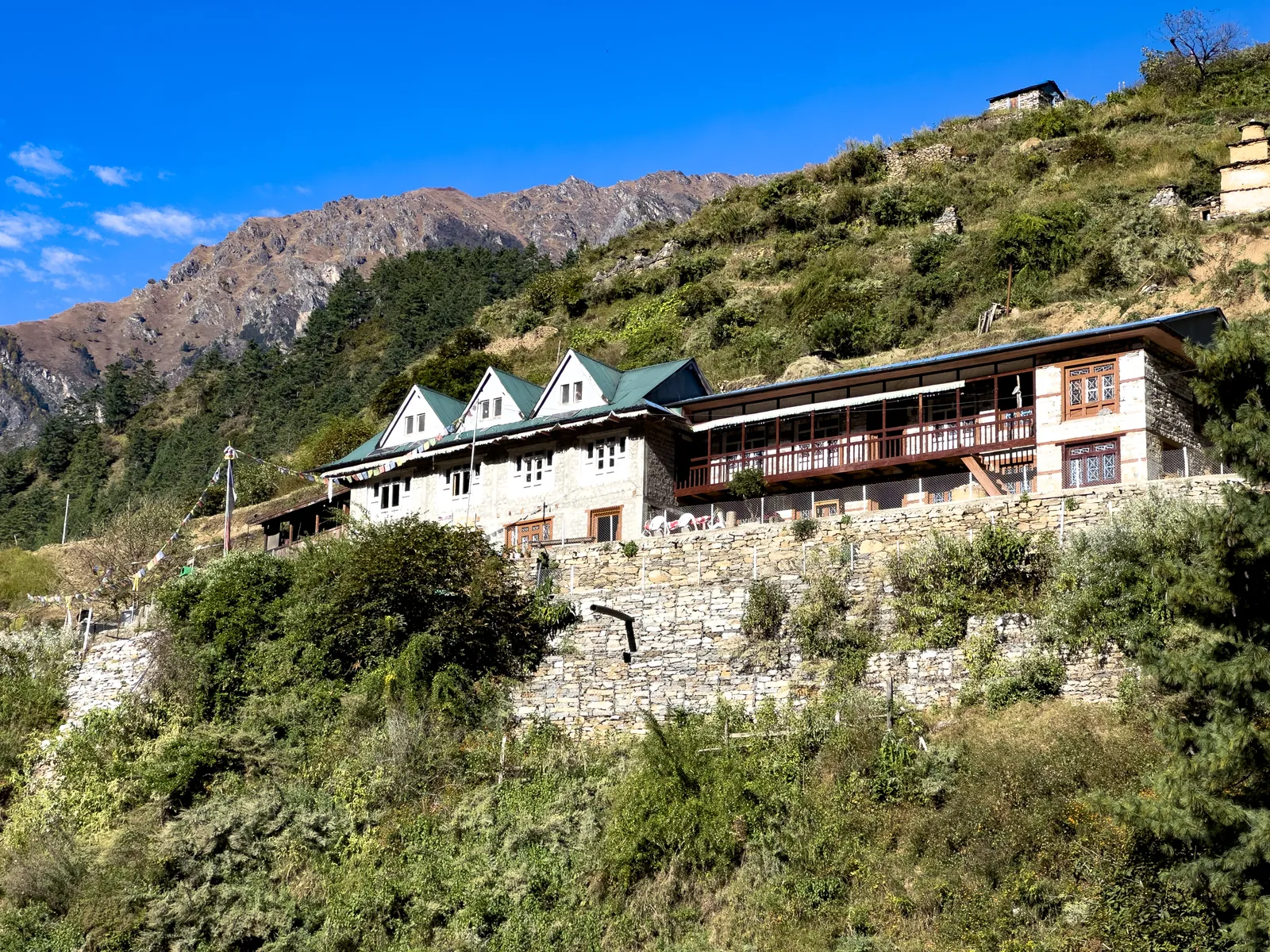
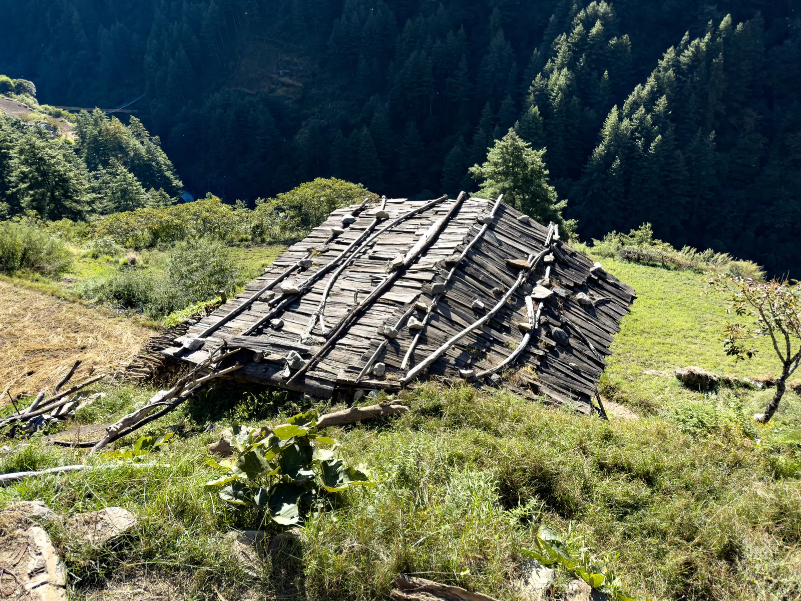
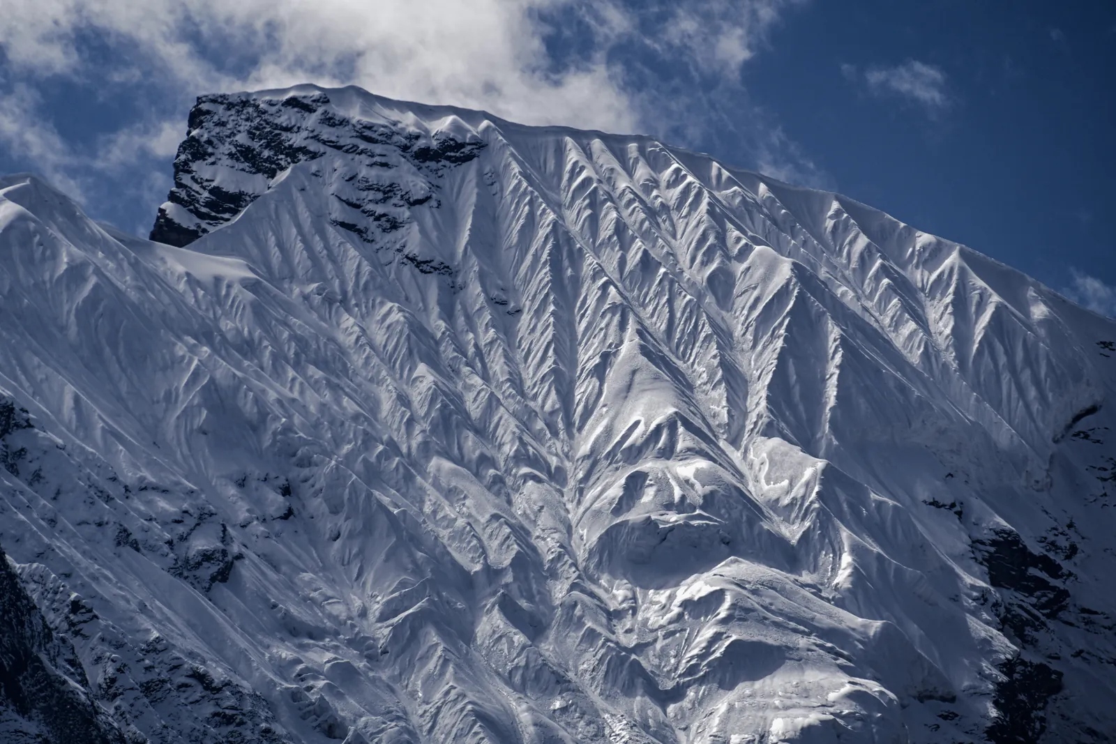
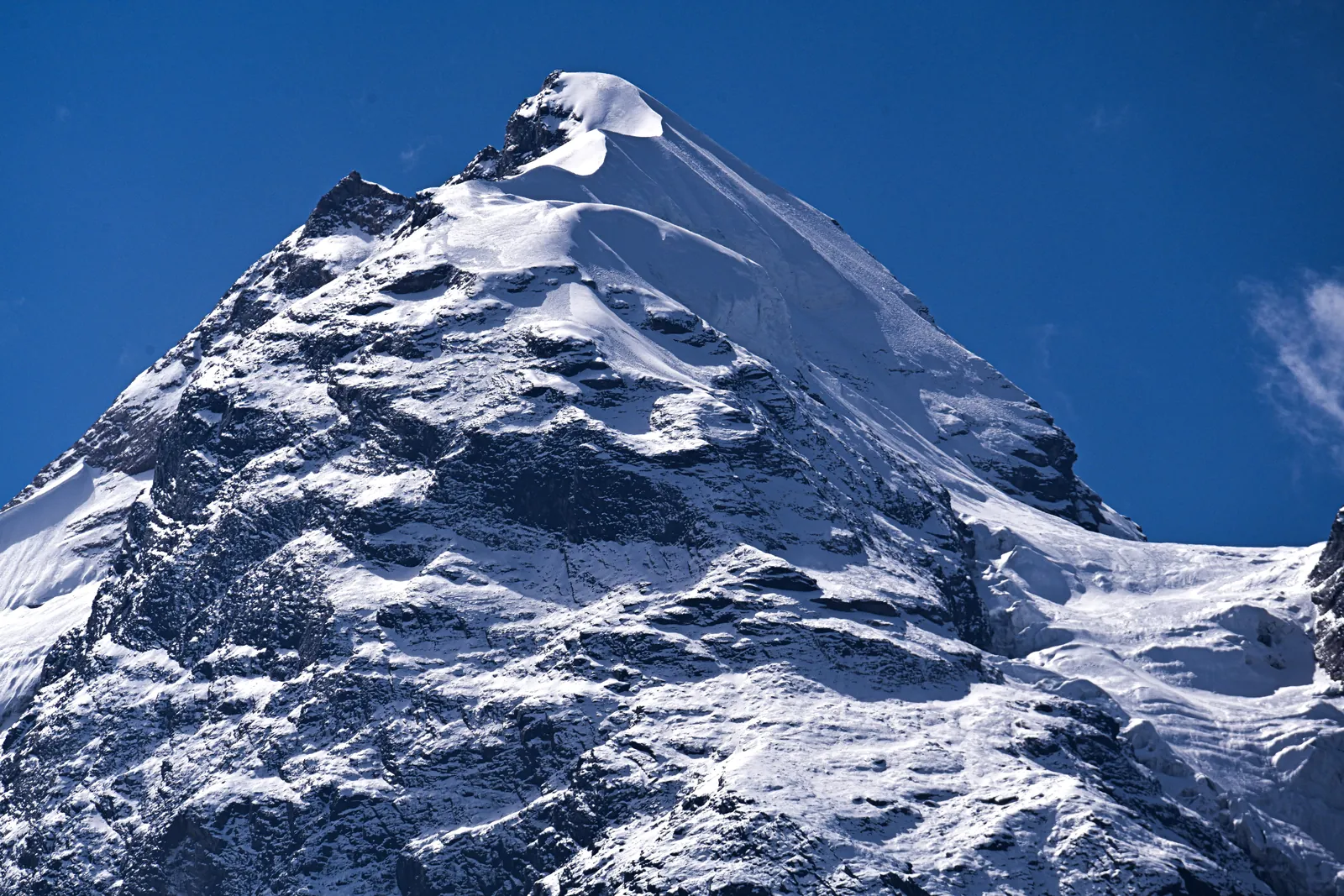
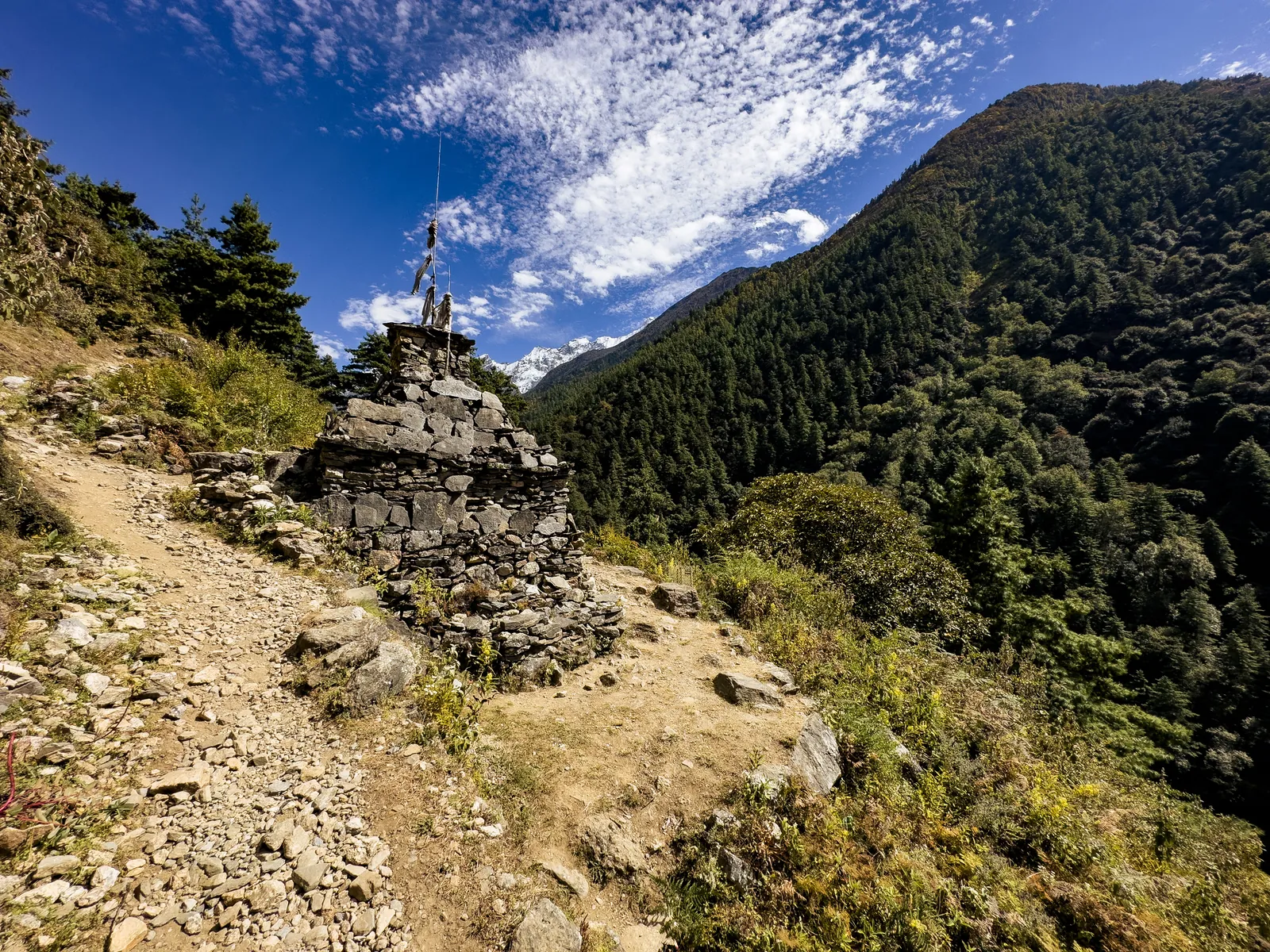
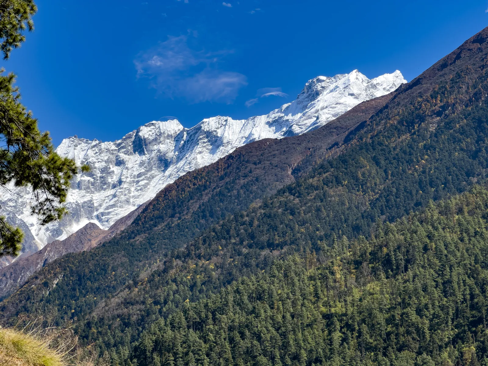
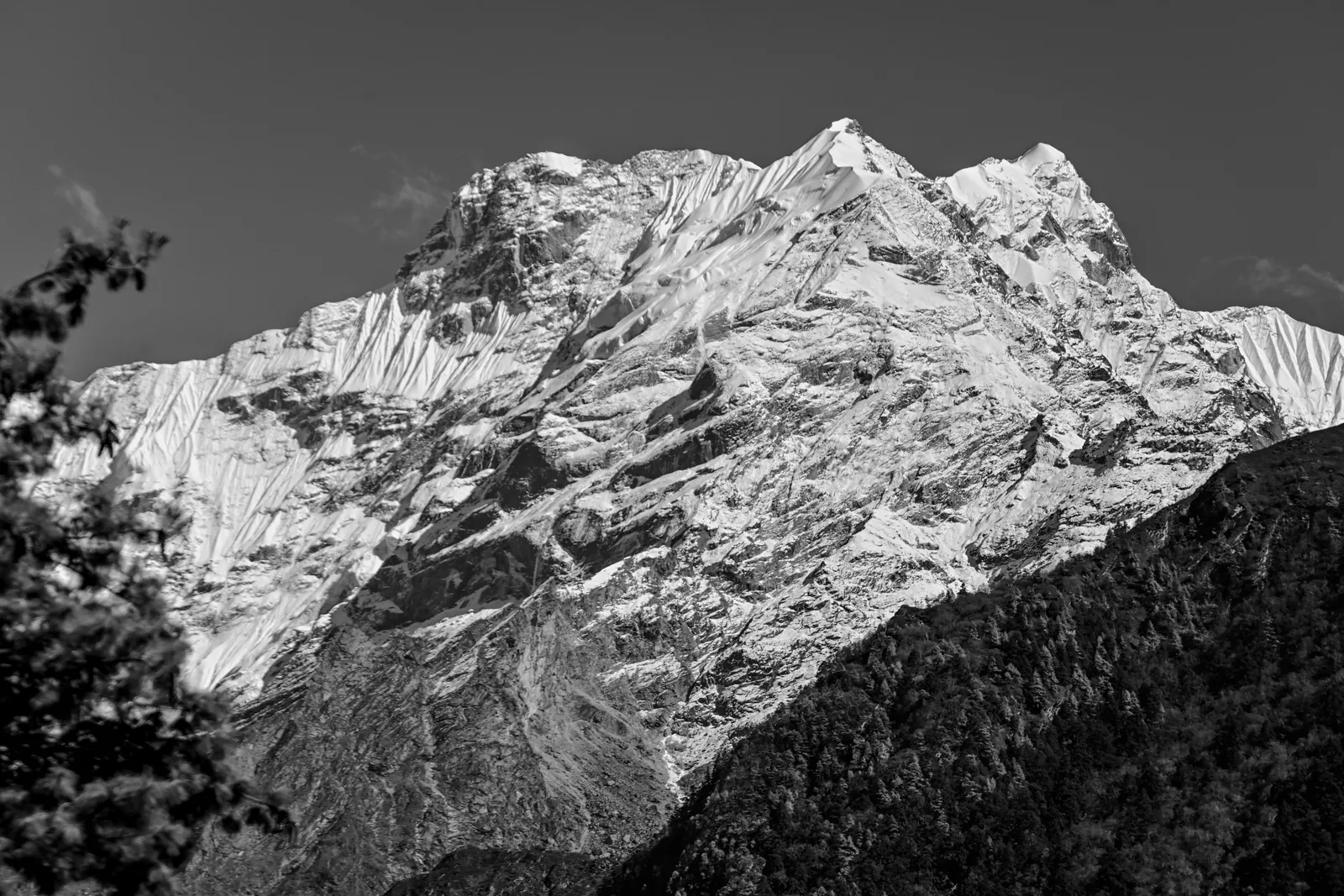
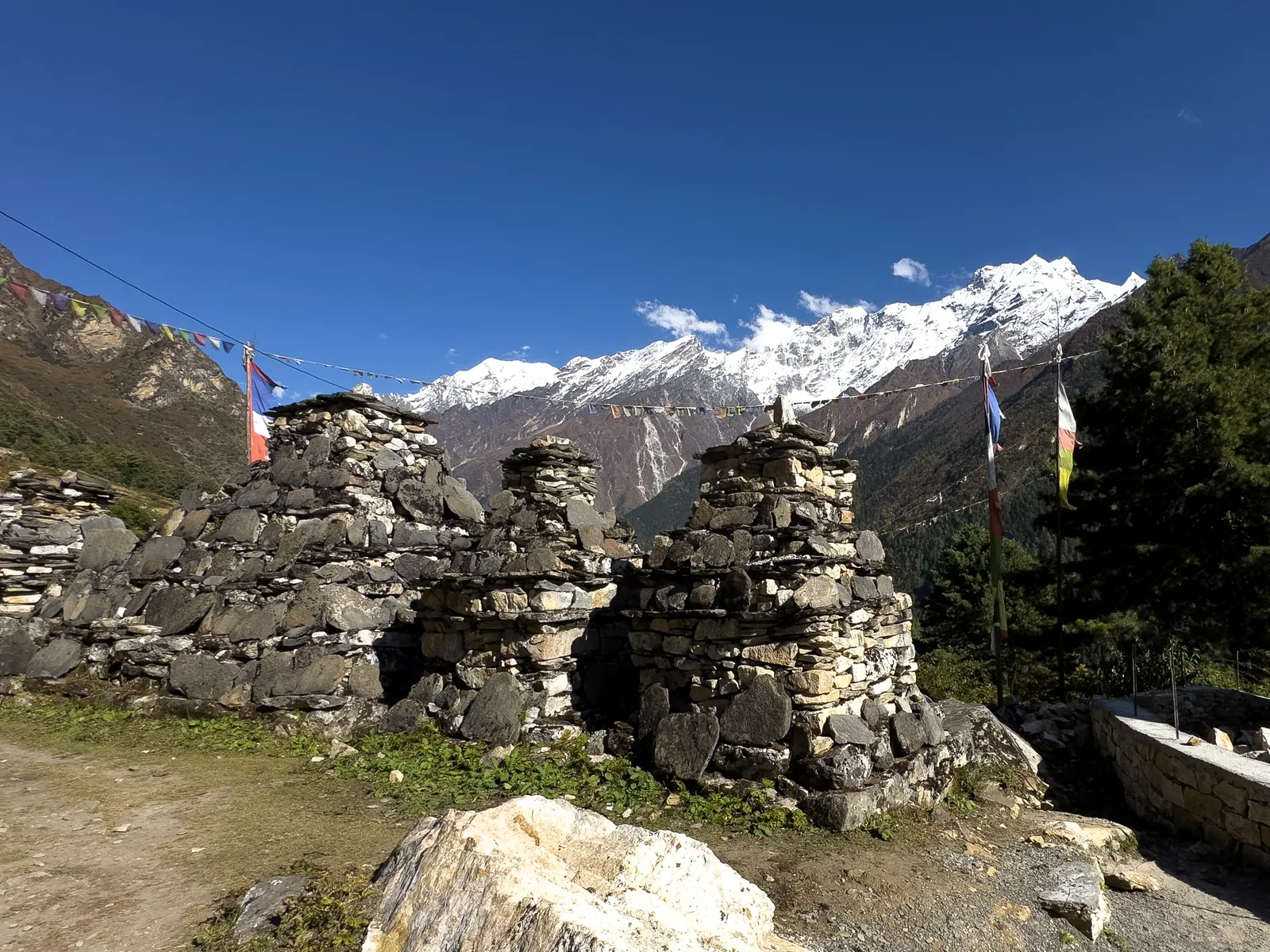
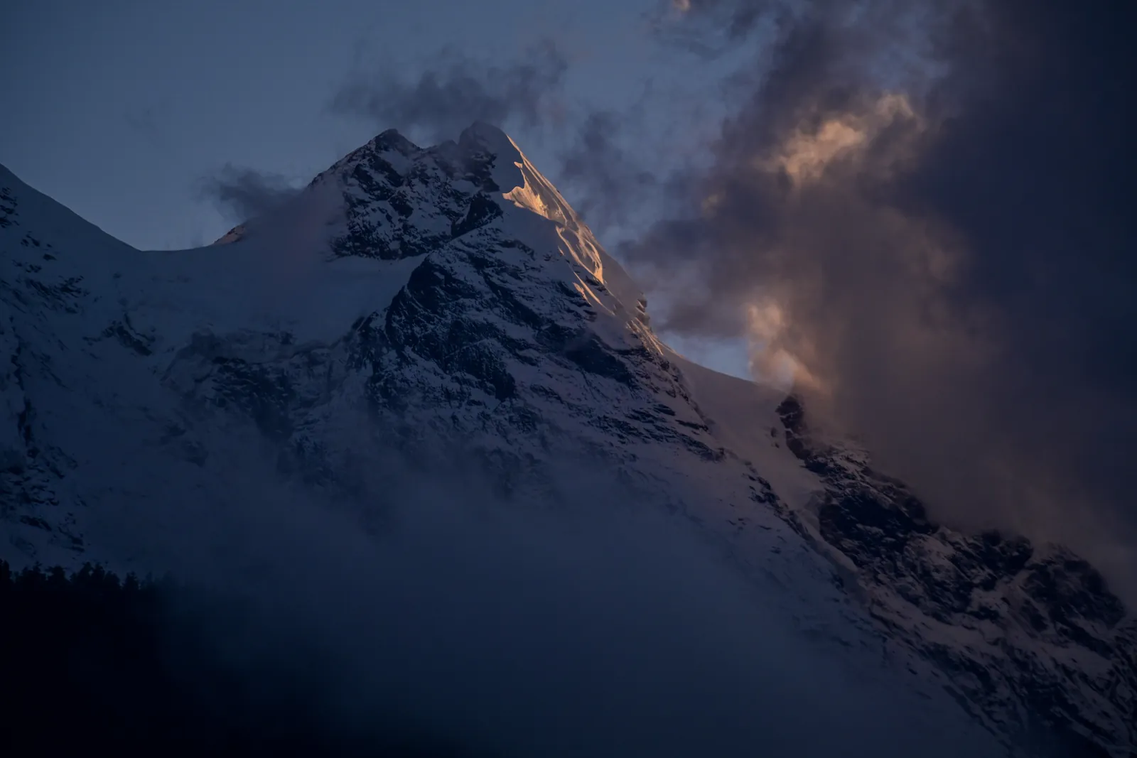
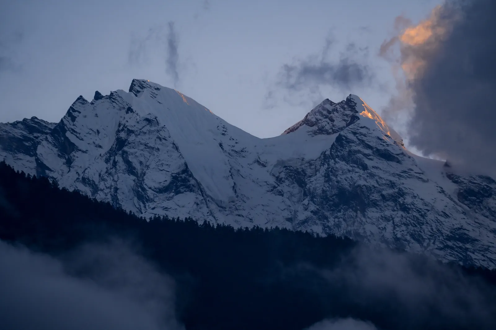
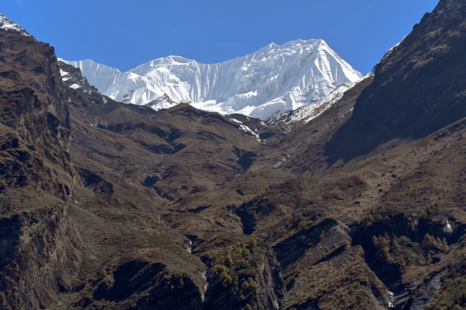
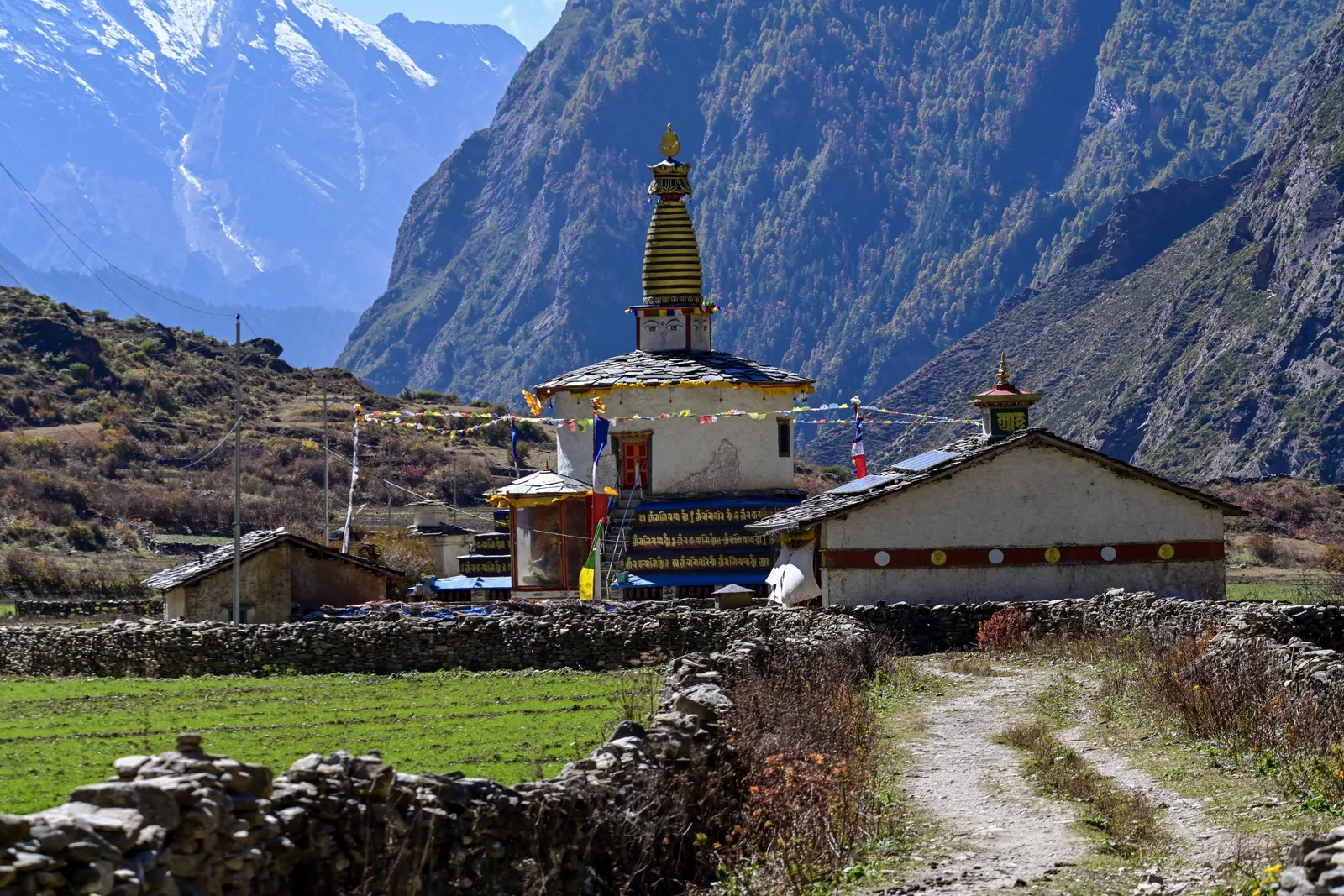
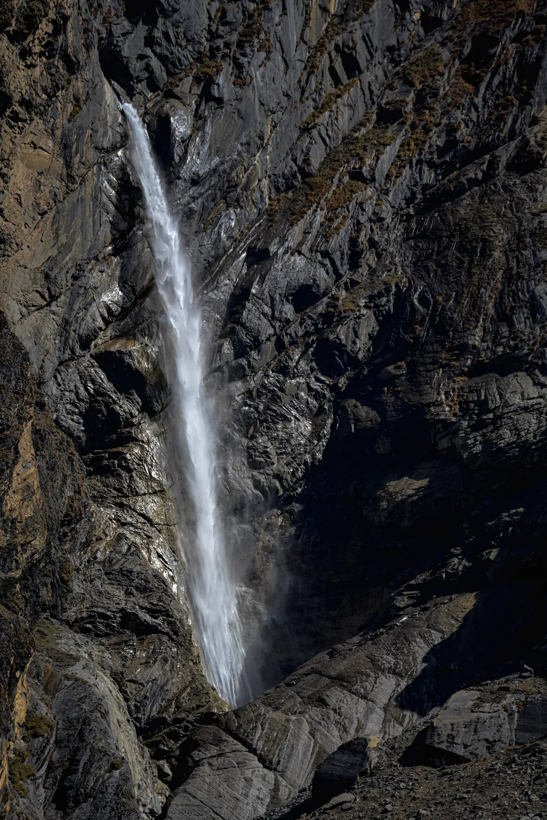
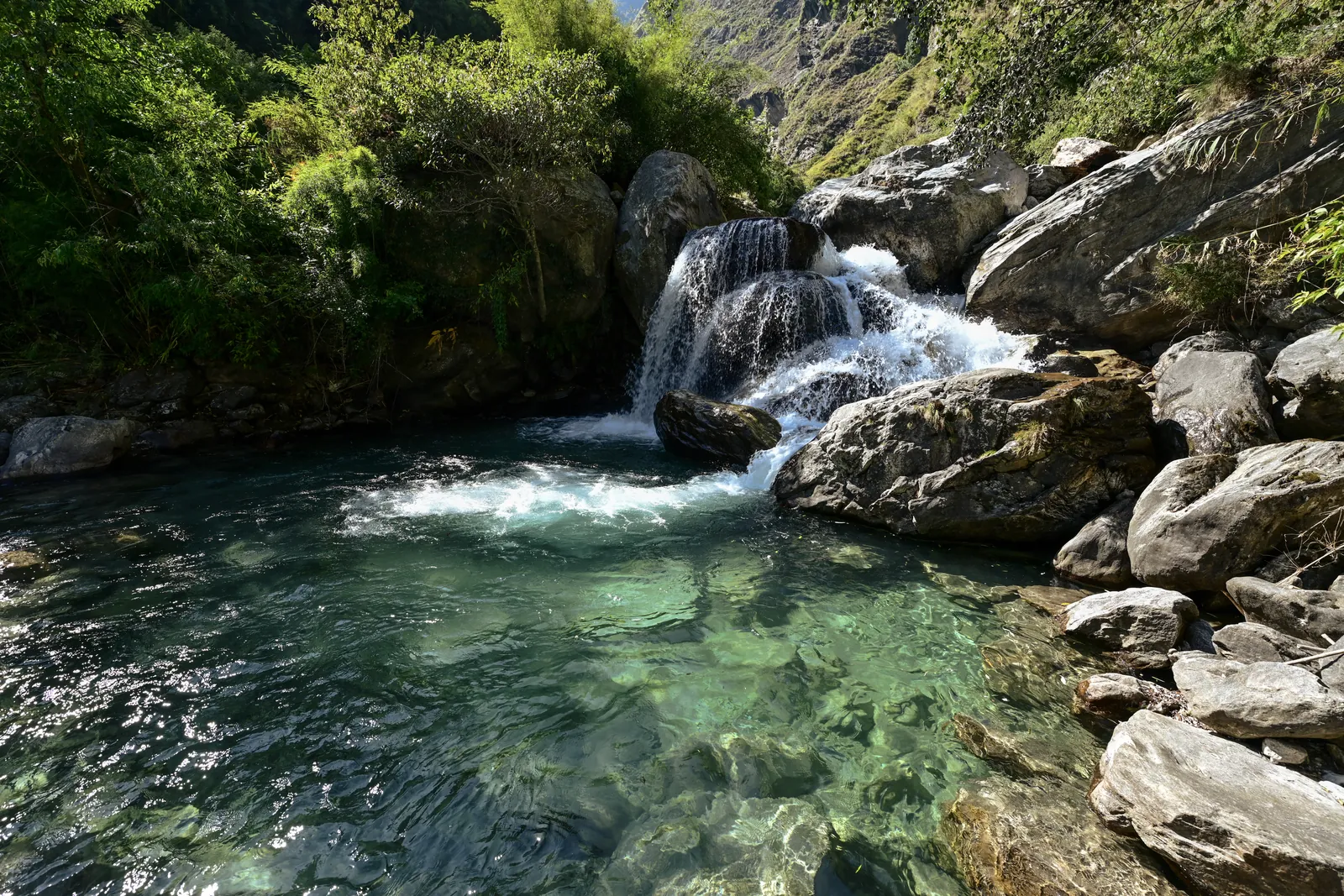
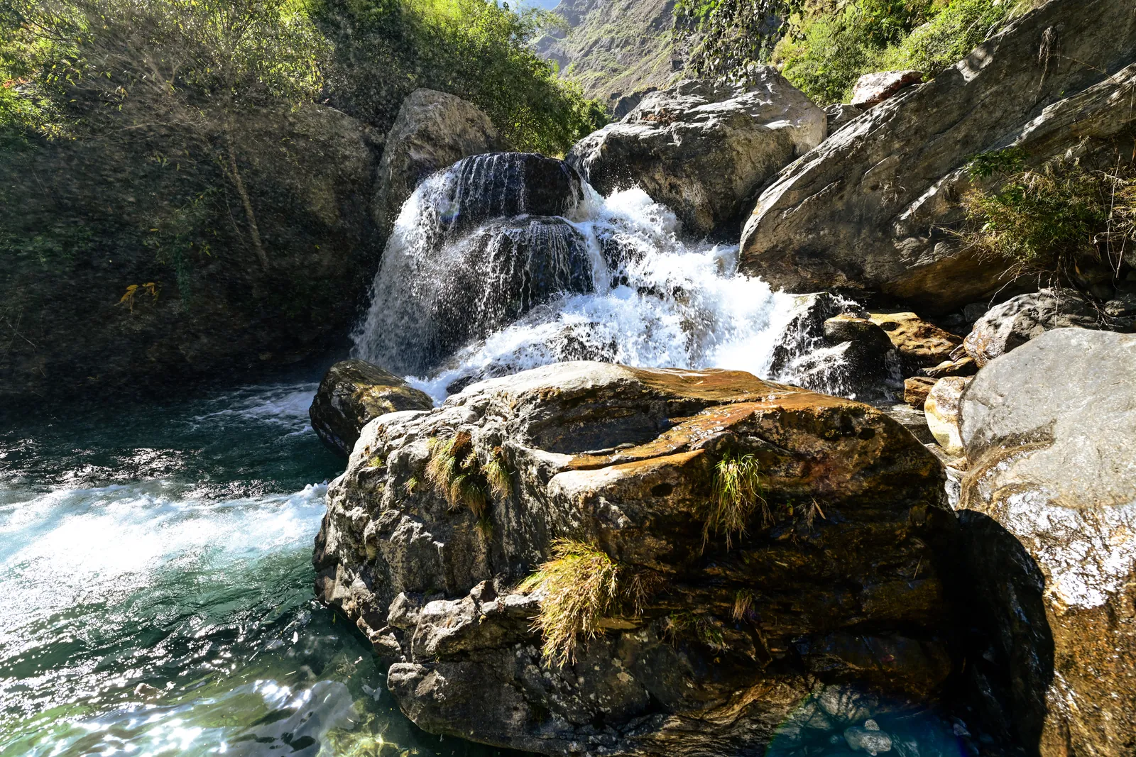
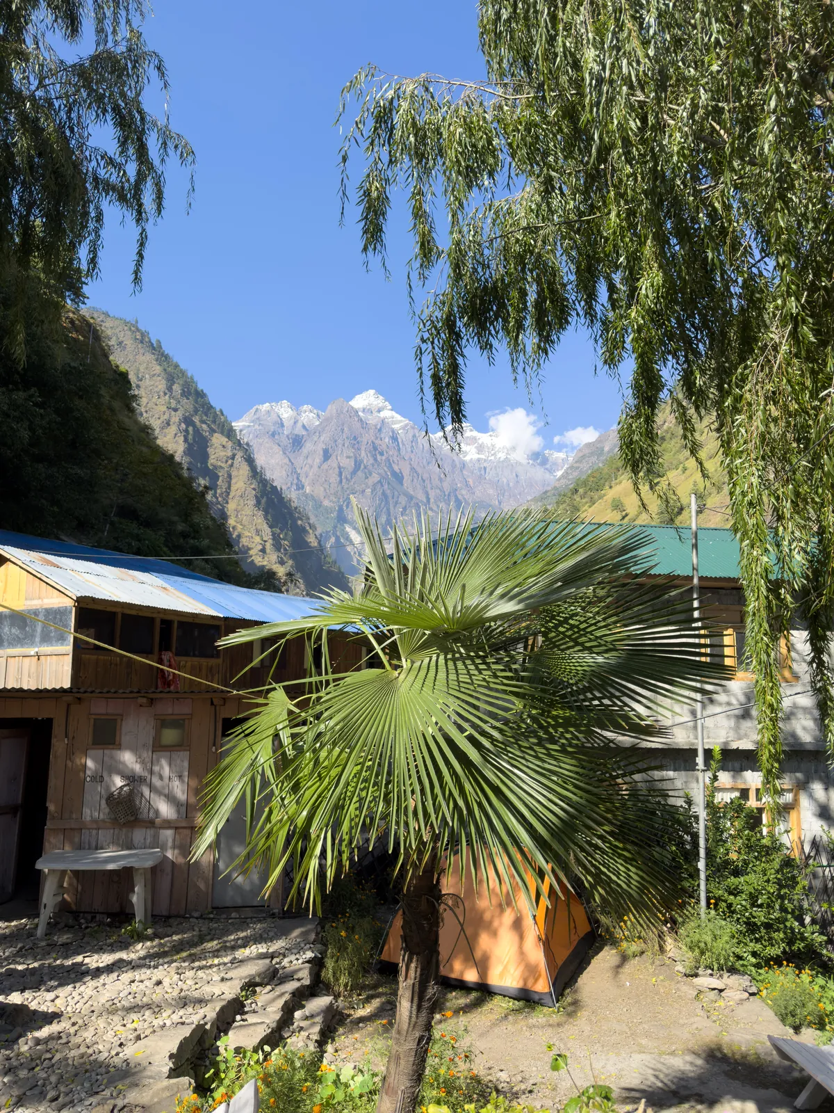
Our team's own photos from the trail: the waterfalls of the lower gorge, the chortens and gompas of the valley, and the snow peaks above it. Tap a photo to enlarge it.
Manaslu Circuit and Tsum Valley cost
Per person
Quote on request
Included
- → Manaslu and Tsum RAP, MCAP and ACAP permit fees
- → Licensed guide and porters
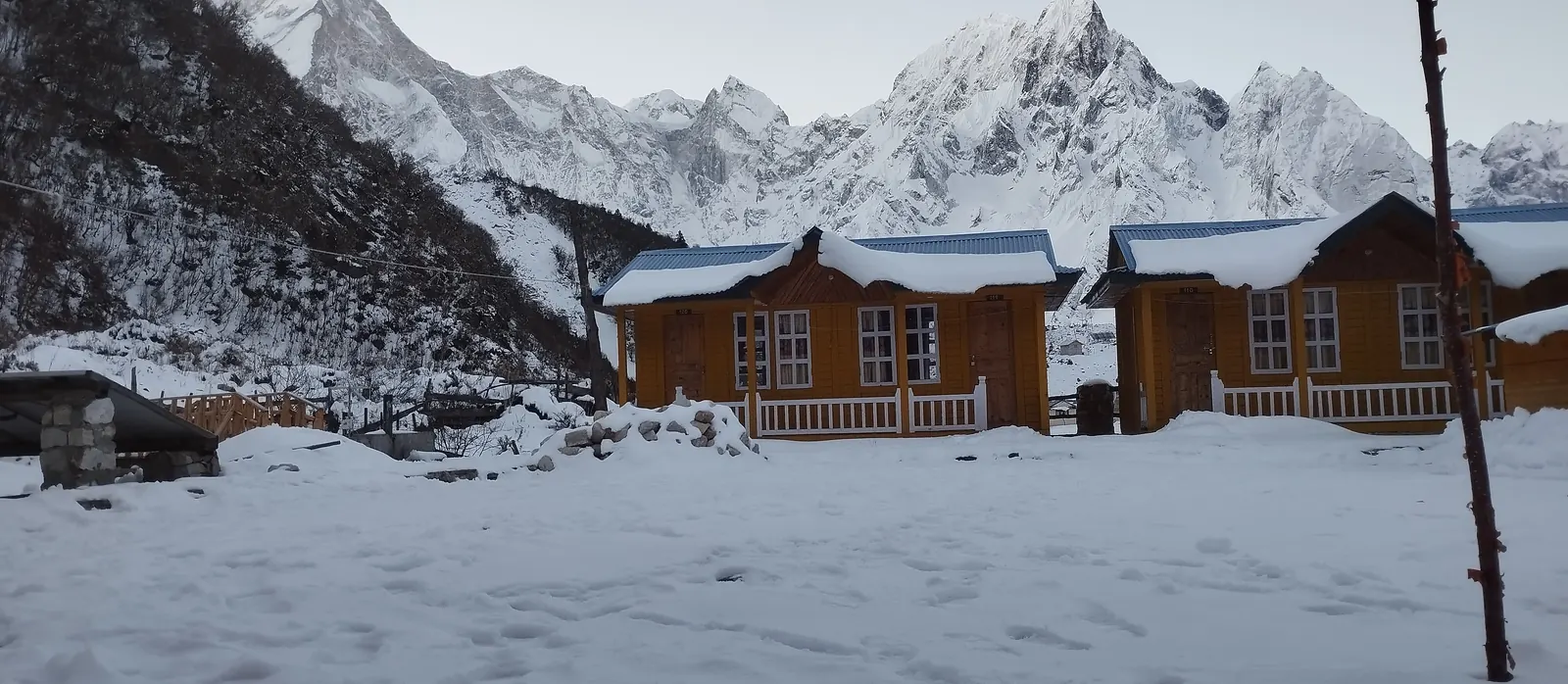
- → Teahouse lodging, 17 nights on trek
- → All meals on trek (breakfast, lunch, dinner)
- → Kathmandu–Machha Khola, Tilije–Kathmandu ground transport
Not Included
- → International flights and Nepal visa
- → Kathmandu hotel nights (Day 1, Day 20 and Day 21)
- → Travel insurance with high-altitude evacuation cover
- → Guide/porter tips
We haven't published a price for the combined trek yet, since the Tsum permit fees and porter rates are still being confirmed. Request a quote and we'll reply with a firm figure.
The combined trek in detail
Why combine them?
If you have three weeks, this is the fullest way to see the Manaslu region. Tsum gives you the quiet Tibetan-culture valley and its monasteries; the circuit gives you the Nubri villages, the views of Manaslu and a real high pass. Doing them together costs you one transfer day, not a second trip.
How long and difficult is the trek?
21 days door to door, with 16 days on the trail. Daily walking ranges from 3–4 hours on the short days above Samagaon to 8–9 hours on the Mu Gompa day and the Larkya La crossing. The highest night's sleep is Dharamsala at 4,460m, the night before the 5,106m pass. We rate it Challenging: no technical skills, but you need solid multi-day fitness.
Accommodation and food
Every night on the trail is in a teahouse or basic lodge, never a tent. Rooms are simple twin-share with shared bathrooms, and they get more basic higher up, especially in upper Tsum and above Samagaon. Meals are included and cooked fresh at each lodge: dal bhat with refills, noodle soups, momos, porridge and Tibetan bread.
Best time to go
Autumn (September–November) is the most popular window, with clear post-monsoon skies and the Larkya La at its most reliably crossable. Spring (March–May) brings rhododendron through the lower forest and similarly stable weather. Permit dates depend on the Nepal government, so we confirm yours when you book.
Is this trek suitable for you?
It suits trekkers with at least one multi-day teahouse trek behind them, ideally one above 4,000m. Three weeks is a long time on the trail, so steady fitness for back-to-back days matters more than speed. We wouldn't recommend it as your first high-altitude trek.
Safety and acclimatization
Your guide carries a first aid kit, a pulse oximeter and a clear evacuation plan. The Tsum days raise you gradually to Nile at 3,361m with a high day to Mu Gompa, and the circuit then adds a full acclimatization day at Samagaon and a staged night at Dharamsala before the pass. Travel insurance with high-altitude evacuation cover isn't included, so you'll need to arrange it.
Packing list
7 groups · 32 items
Upper Body
4- →Moisture-wicking base layer tops (2–3)
- →Fleece or light insulated mid-layer
- →Down jacket for high-altitude nights
- →Waterproof, windproof outer shell jacket
Lower Body
4- →Moisture-wicking base layer bottoms
- →Trekking trousers (2 pairs)
- →Fleece or thermal trousers for camp
- →Waterproof, windproof outer shell pants
Footwear & Accessories
5- →Broken-in waterproof trekking boots
- →Camp shoes or sandals
- →Wool or synthetic trekking socks (4–5 pairs)
- →Liner socks
- →Gaiters (useful for early/late-season snow near the pass)
Head & Sun Protection
4- →Sun hat and warm insulated hat
- →Buff or neck gaiter
- →UV-protective sunglasses (glacier-rated recommended for pass day)
- →High-SPF sunscreen and lip balm
Personal & Medical
6- →Personal first aid kit and any personal medications
- →Diamox (consult your doctor before the trip)
- →Hand sanitizer and basic toiletries
- →Trekking poles
- →Headlamp with spare batteries (essential for the pass-day pre-dawn start)
- →Reusable water bottle and purification tablets or filter
Documents
4- →Passport with at least 6 months' validity
- →Passport-sized photos (for permits)
- →Travel insurance documents
Miscellaneous
5- →Duffel bag for porter-carried gear
- →Daypack (30–35L)
- →Sleeping bag rated to at least -15°C
- →Power bank and universal adapter
- →Snacks or energy bars
Manaslu and Tsum Valley FAQs
How long is the Manaslu Circuit and Tsum Valley Trek?
21 days door to door from Kathmandu, with 16 days on the trail. You spend Days 4 to 10 in the Tsum Valley, then follow the Manaslu Circuit from Deng over the 5,106m Larkya La to Tilije.
Which permits do I need for the combined trek?
Two Restricted Area Permits, one for Manaslu and one for Tsum Valley, plus the Manaslu Conservation Area Permit (MCAP) and the Annapurna Conservation Area Permit (ACAP) for the finish through Dharapani. We file all of them before you land.
Is the combined trek harder than the Manaslu Circuit alone?
It is longer, not steeper. The Larkya La day is the same, but you reach it after a week in Tsum that has already taken you up to Mu Gompa at about 3,700m, so you arrive at the pass better acclimatized.
Can I do the combined trek solo?
Tsum Valley needs at least two trekkers on the permit, so the combined trek does too. If you are on your own, ask us and we will tell you whether there is a group you can join.
Is it teahouse trekking the whole way?
Yes. Every night on the trail is in a teahouse or basic lodge, from Machha Khola through Tsum and around the circuit to Tilije. You don't need any camping gear.
Request a quote for Manaslu and Tsum Valley
Tell us your target dates and group size, and we'll get back to you with a firm price and the next open departure.