
Kanchanjunga Trek journal: our spring 2023 trip in 23 photos
Written by our trekking team
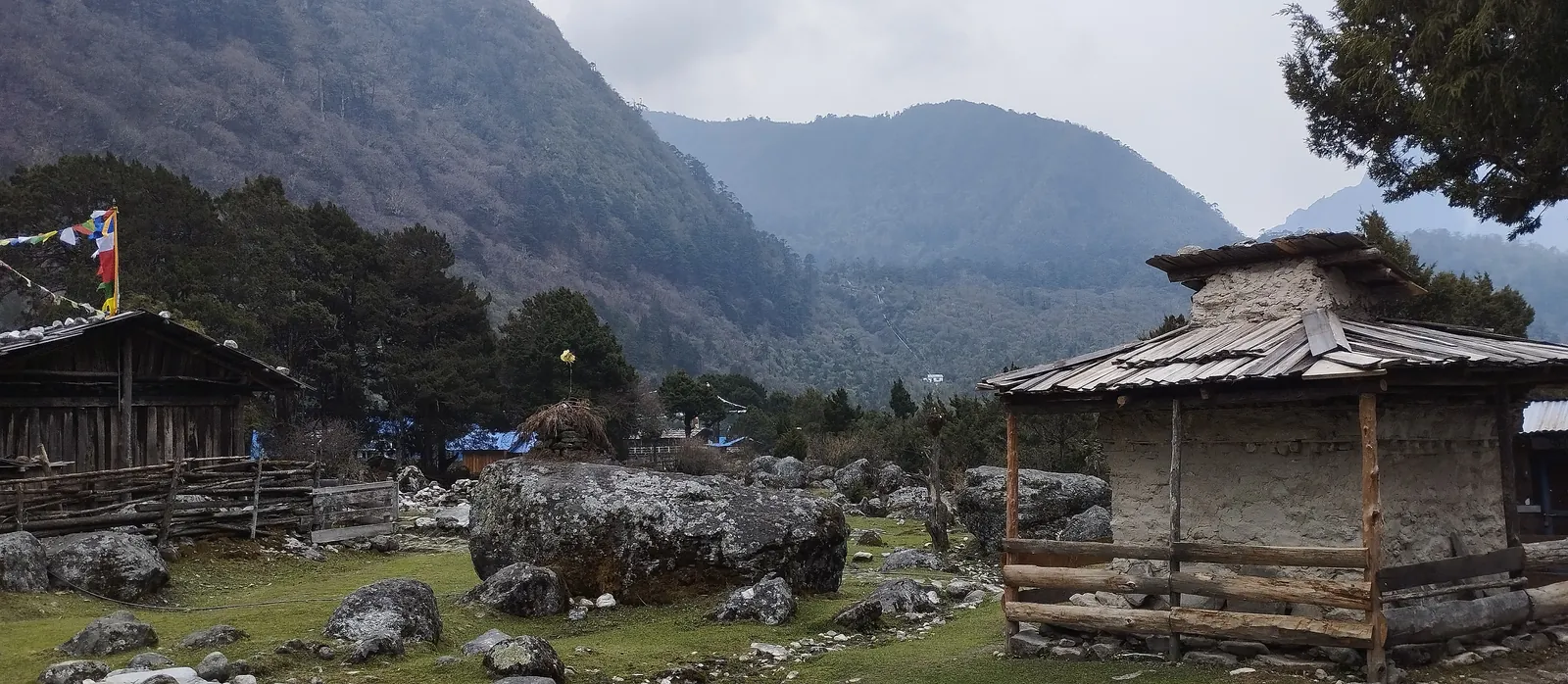
Photo: Remote Nepal Treks, 29 Apr 2023.
The short version
This is our own Kanchanjunga trip from spring 2023, told through the 23 photos we took on it. We walked out of Taplejung on 25 April, reached Ghunsa on the 29th, woke to fresh snow on the way to Khambachen on the 30th, and crossed the Sele La in snow on 3 May. On 12 May we were on the road to Bhadrapur airport.
The trip at a glance
We walked out of Taplejung on 25 April 2023 and flew back to Kathmandu on 12 May. This trip didn't run our exact 21-day schedule: it went up the north side as far as Khambachen, came back to Ghunsa and crossed the Sele La, then walked out via Suketar. The day numbers below are where each place falls on our 21-day itinerary. Tap any photo to open it full size.
| Date | Itinerary day | Route | Photos |
|---|---|---|---|
| 25 Apr | 3 | Taplejung to Mitlung | 3 |
| 29 Apr | 8 | Gyabla to Ghunsa | 3 |
| 30 Apr | 10 | Ghunsa to Khambachen | 6 |
| 1 May | 11 | Rest day, Khambachen | 3 |
| 2–3 May | 15 | Ghunsa over the Sele La | 2 |
| 9–11 May | 20 | Walk out via Suketar, drive to Bhadrapur | 5 |
| 12 May | 21 | Fly to Kathmandu | 1 |
The photos are GPS and time stamped, which is how we dated each entry. Where we give an altitude with “about”, it's a rough reading from the photo; the rest come from the itinerary.
The journal
25 Apr 2023 · Day 3: Taplejung to Mitlung
921m · ▼ 899m · ~14km · 5–6 hrs
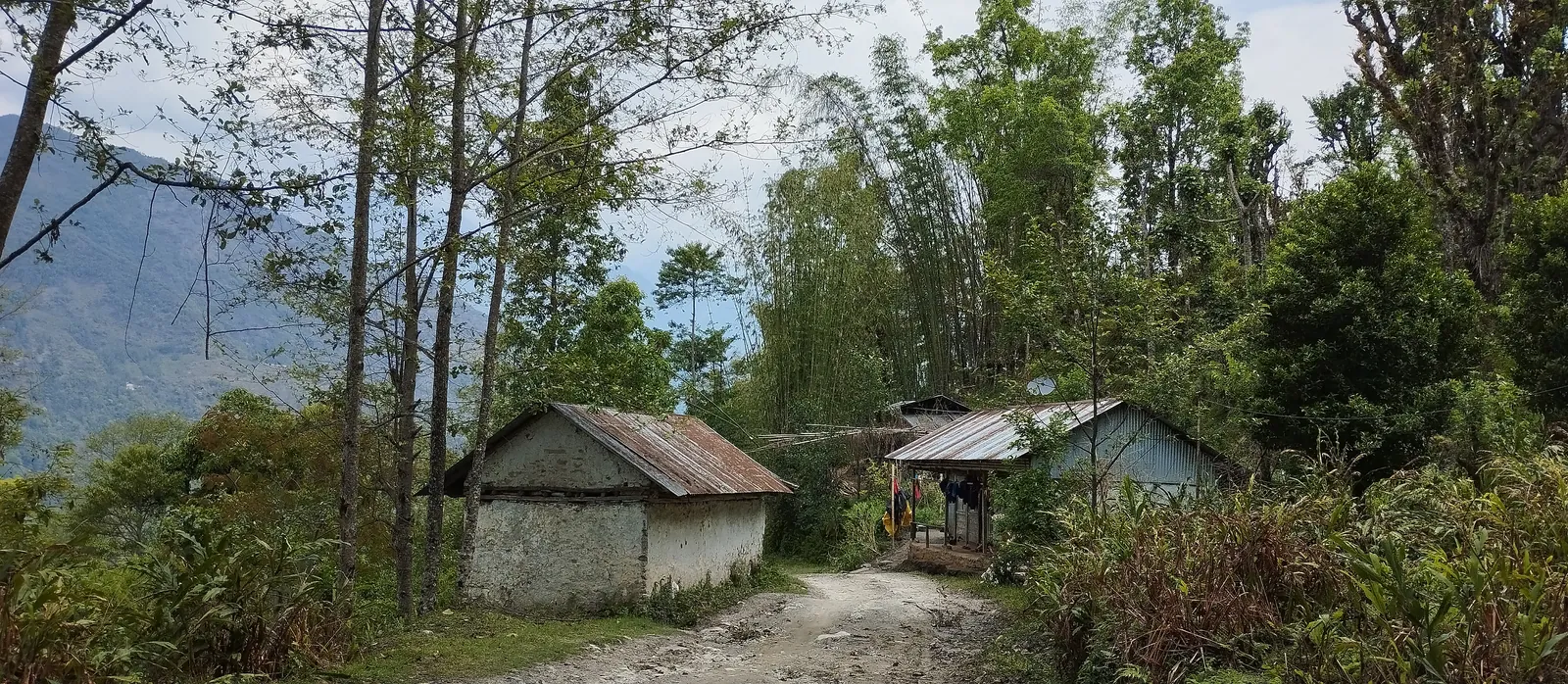
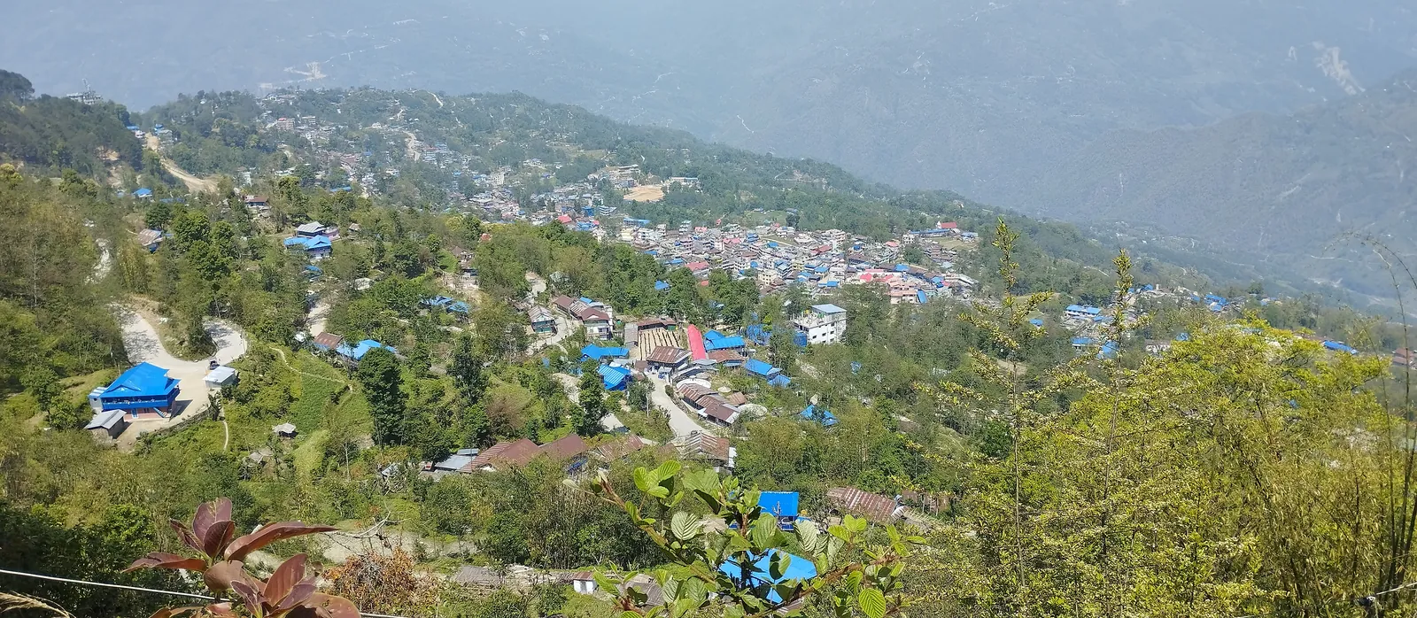
The first morning on foot, and it felt like early summer. The trail out of Taplejung drops toward the Tamor valley between tin-roofed houses and stands of bamboo.
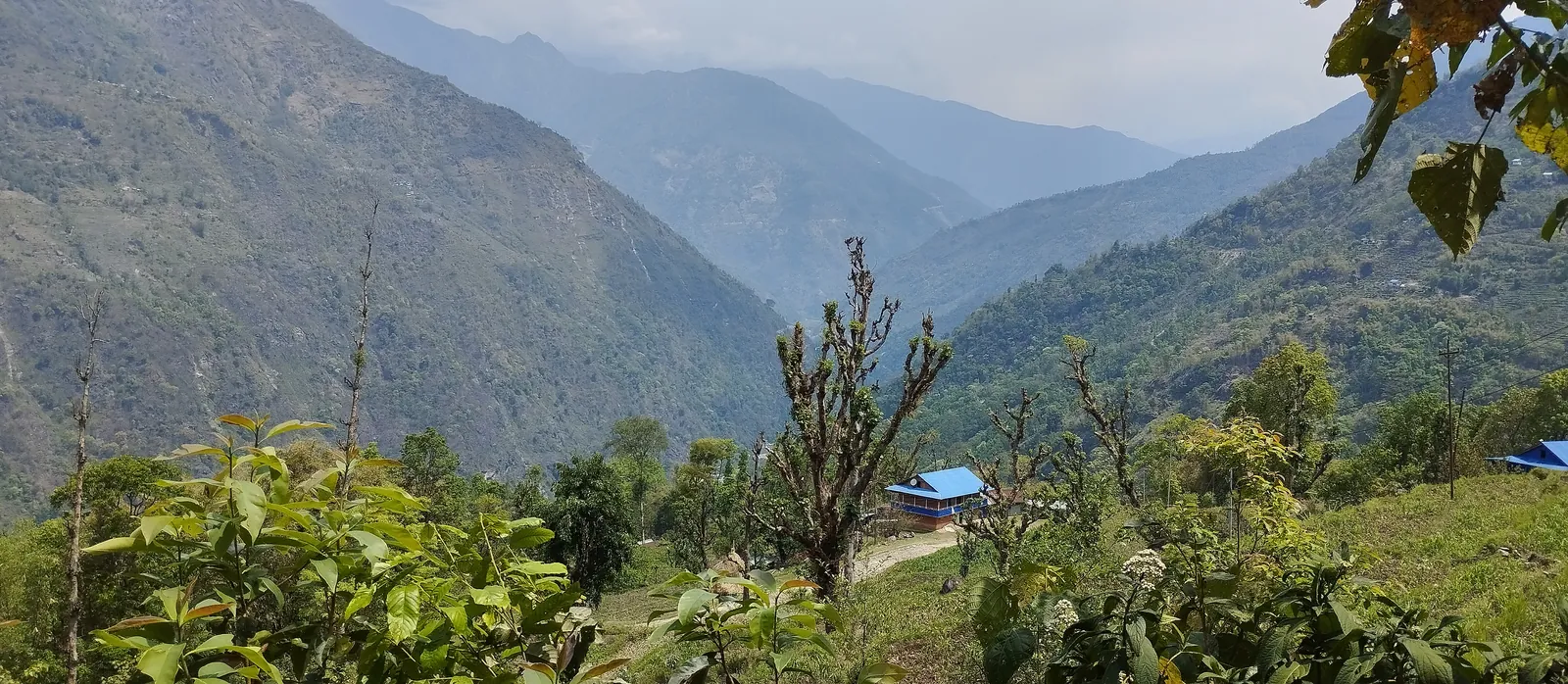
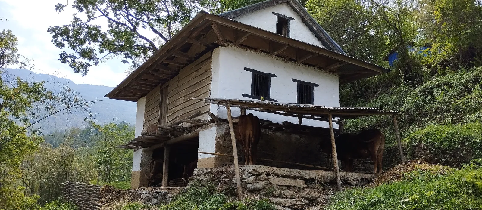
Everything down here is farmland and small Limbu villages. Cattle stalled under whitewashed farmhouses, blue roofs on the slopes, and forested ridges fading into the haze. That haze is normal for spring in the eastern hills. You trade autumn's long views for warmth and green.
29 Apr 2023 · Day 8: Gyabla to Ghunsa
3,595m · ▲ 865m · ~12km · 5–6 hrs
We have no photos from the days up the Tamor and the Ghunsa Khola gorge, so the journal picks up on the last stretch into Ghunsa.
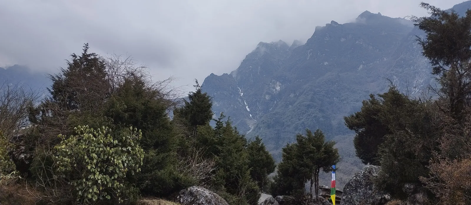
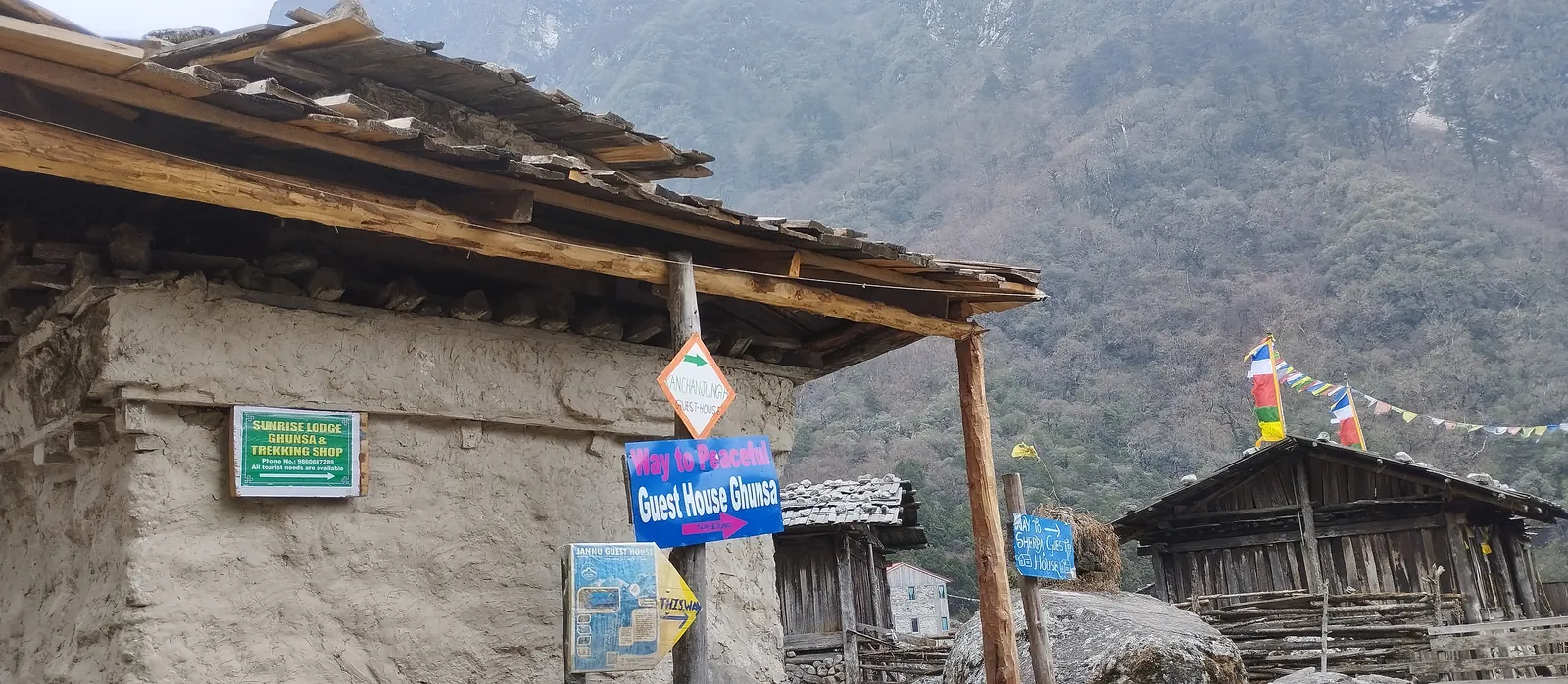
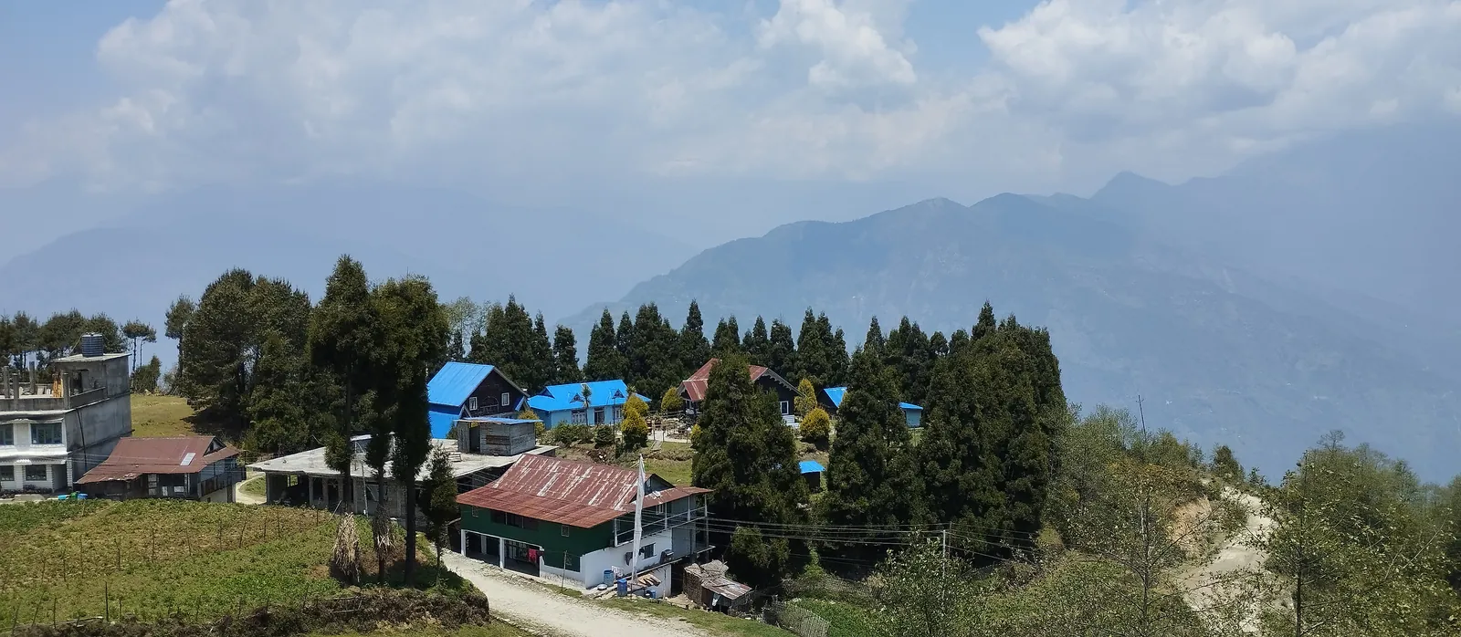
Rhododendron and fir under cliffs that were wrapped in cloud by about 3pm. Then Ghunsa itself: timber houses, prayer flags, boulders scattered over the grass, and hand-painted guest house and trekking-shop signs on the stone walls. After a week of lower trail, it's the first place that feels properly Himalayan. It's also where the KCAP is checked.
30 Apr 2023 · Day 10: Ghunsa to Khambachen
4,050m · ▲ 455m · ~10km · 5–6 hrs
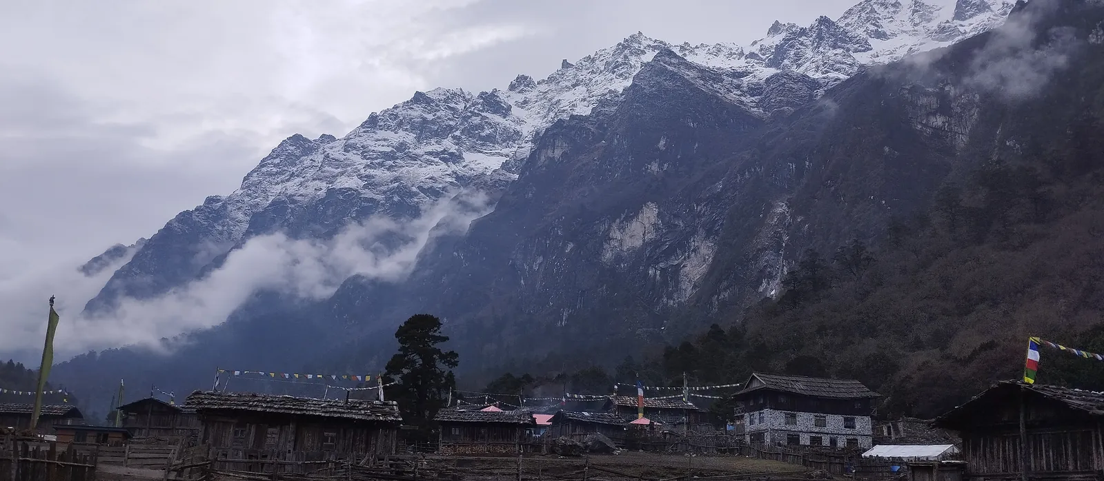
We woke to fresh snow on the ridge above Ghunsa. At 7:30am it hadn't reached the houses or the trail, just everything above them.
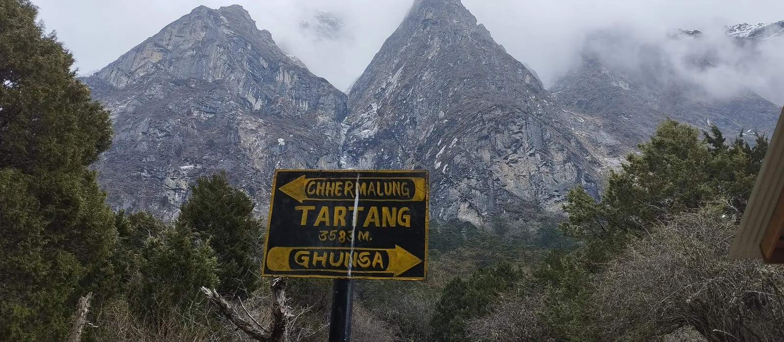
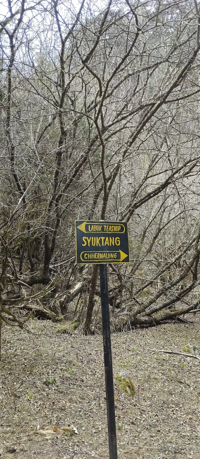
The valley trail is easy to follow, with painted signposts at each stop. Tartang, at 3,593m, by mid-morning. Then Syuktang among bare birch, with arrows pointing to the Labuk teashop. Early in the season the trees up here still have no leaves, and the valley looks wintry even on a mild day.
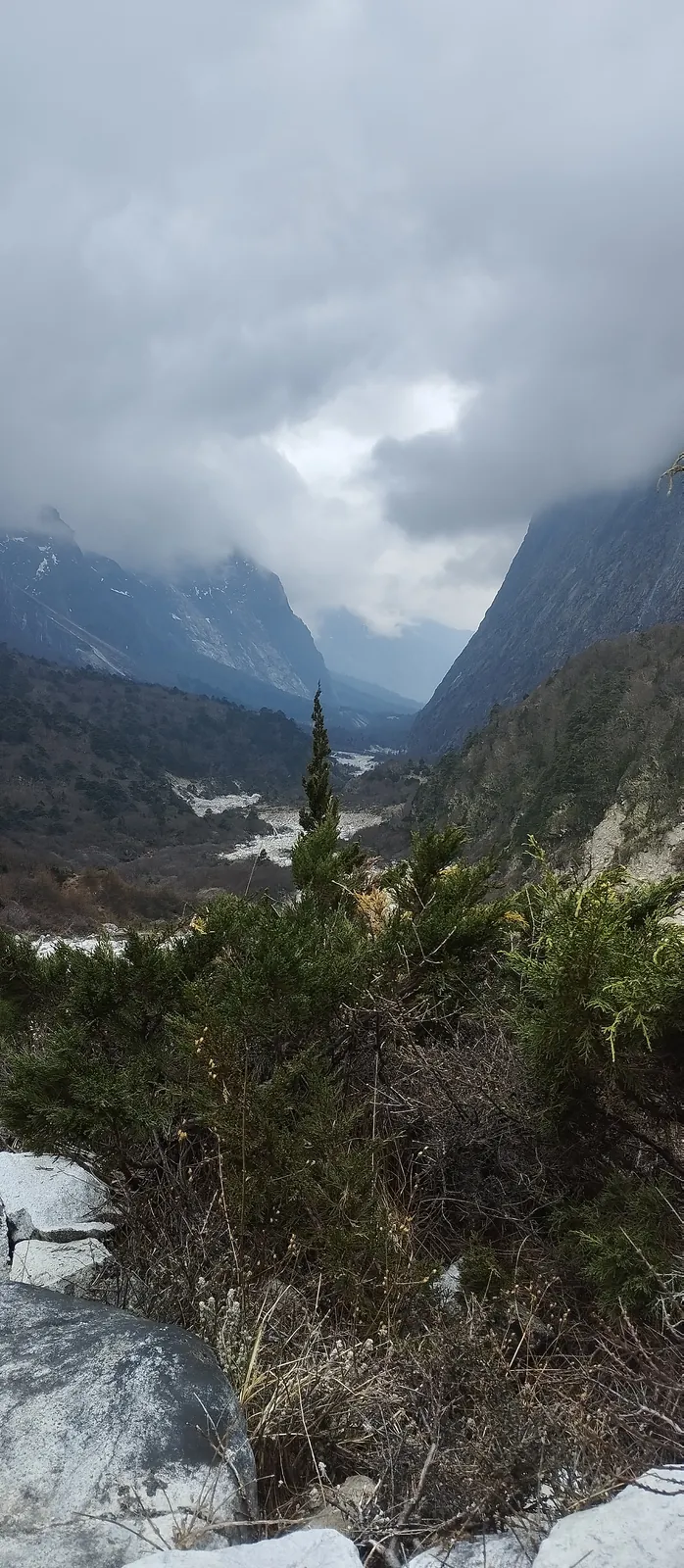
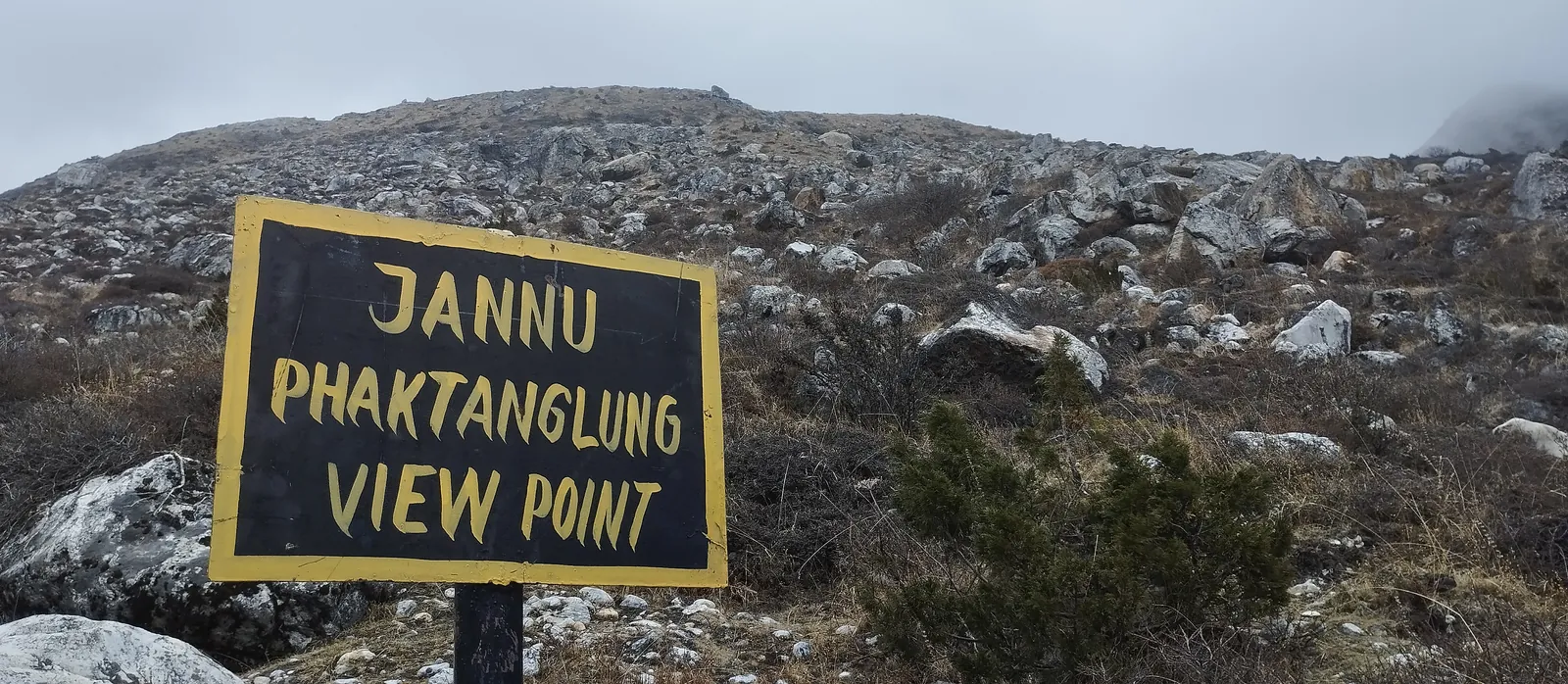
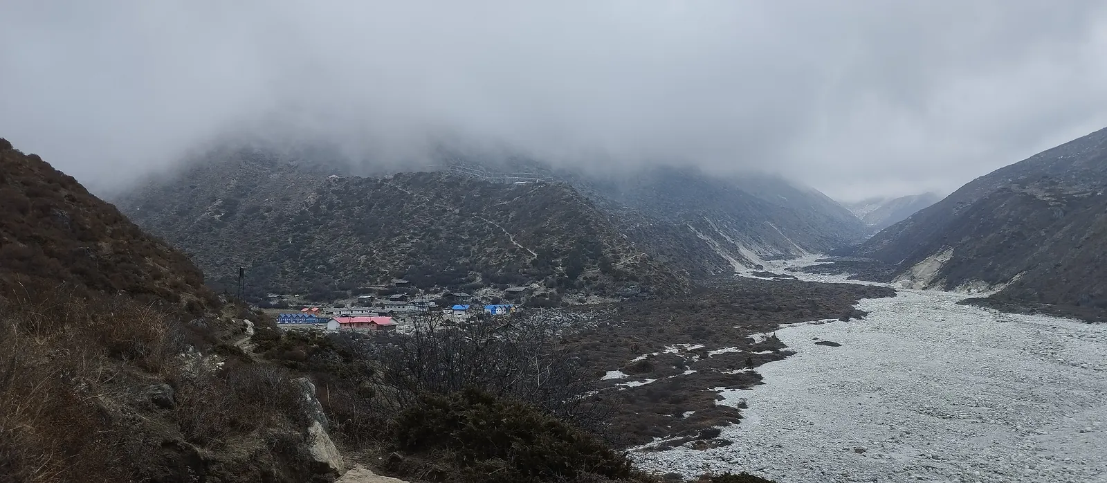
By early afternoon we passed the sign for the Jannu viewpoint and the cloud had come down onto the valley walls. Khambachen showed up at about 2pm, its lodges at the head of a wide gravel riverbed.
1 May 2023 · Day 11: rest day at Khambachen
4,050m · Acclimatization
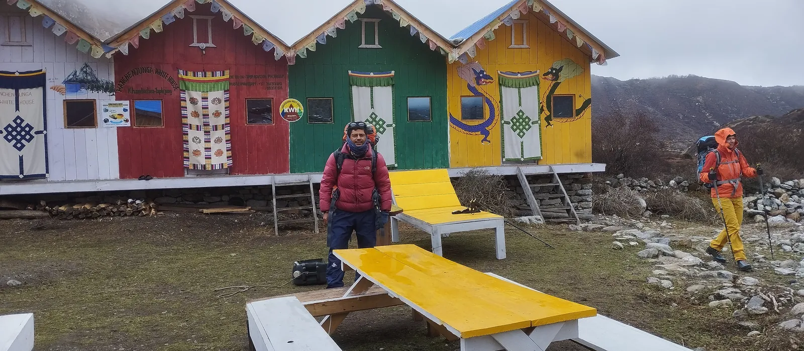
Cold enough at breakfast that the whole group stood outside the painted lodge rooms in down jackets.
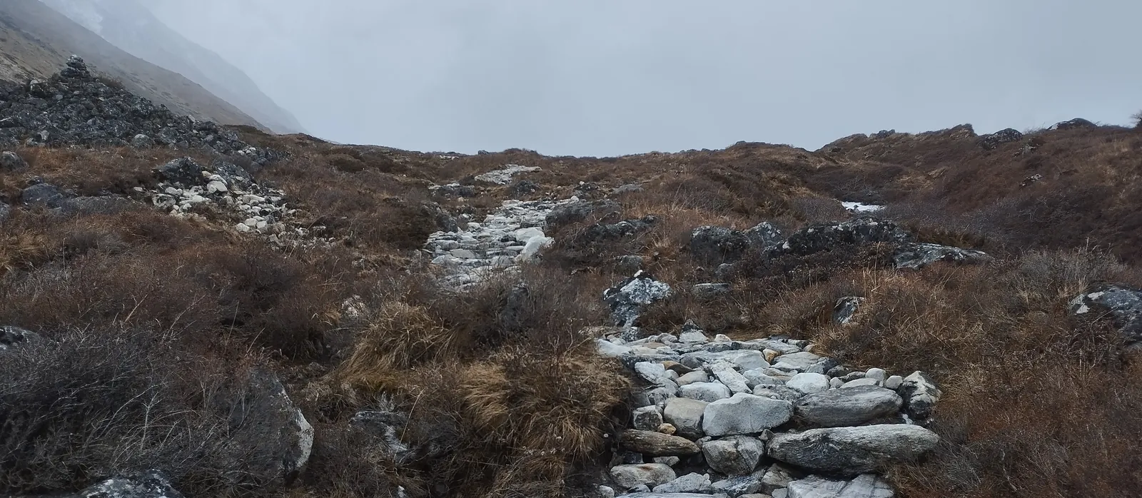
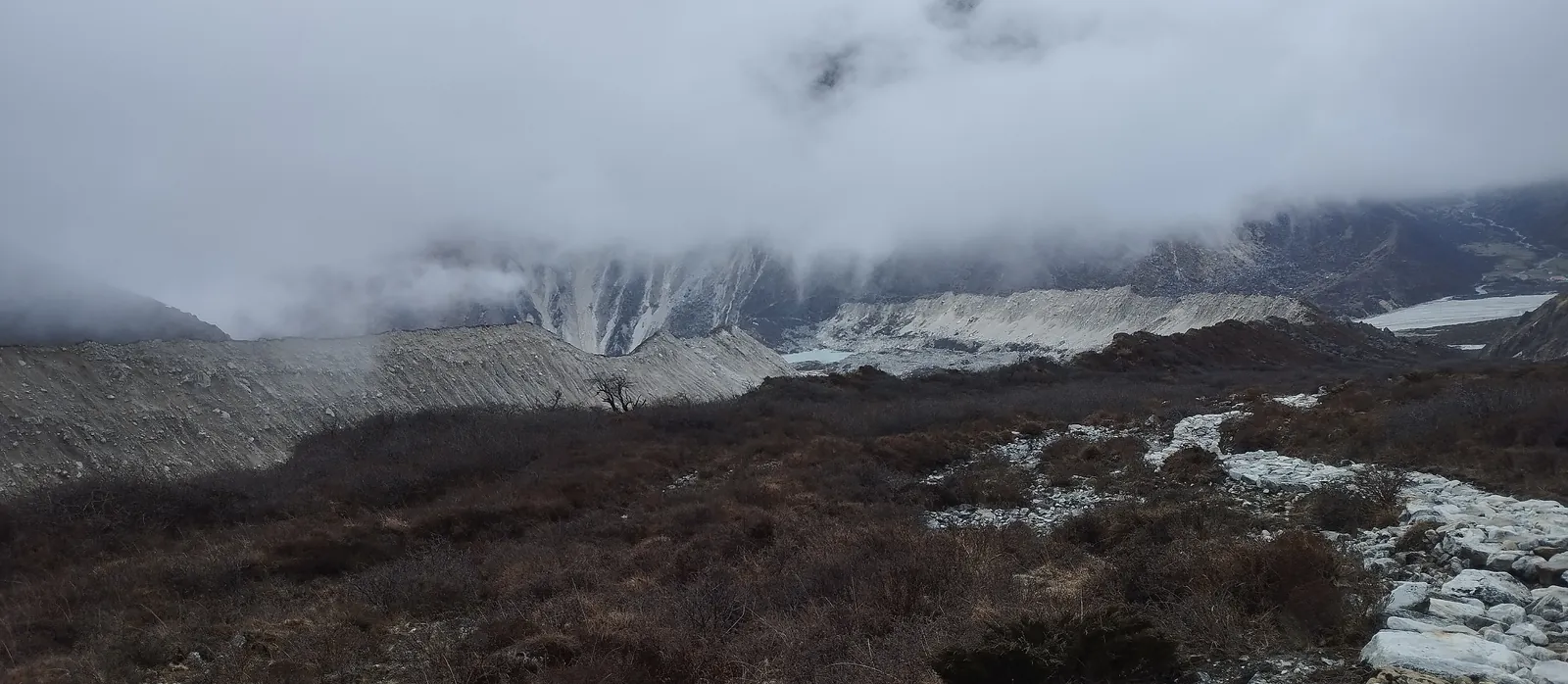
The acclimatization hike went up onto the moraine above the lodges, past a stream through dry scrub at around 4,300m and on to the grey moraine walls of the glacier at about 4,370m. By 11am we were walking in cloud again, and back down at 4,050m to sleep. Climb high, sleep low, exactly as the rest day is meant to work.
2–3 May 2023 · Day 15: over the Sele La
3,870m at Cheram · three passes above 4,200m · ~13km · 8–9 hrs
This trip didn't go on to Lhonak and Pangpema. We came back down to Ghunsa on 2 May, to a clear morning and rhododendron in bloom on the slope above the village, and went up toward the passes from there.
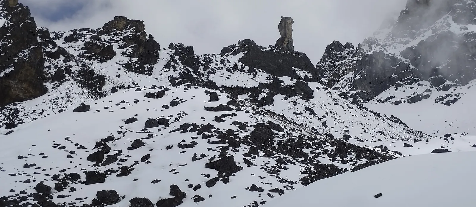
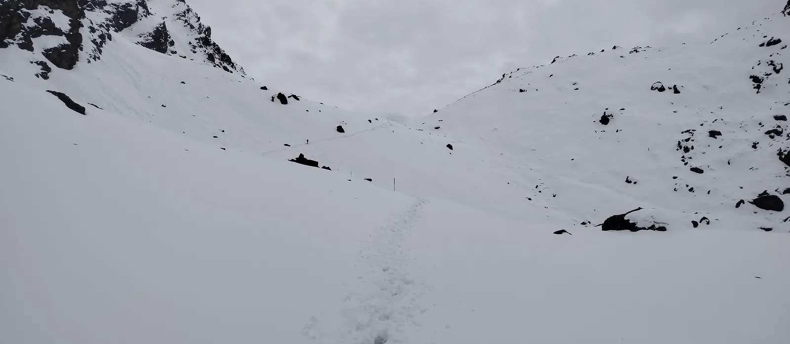
The Sele La crossing links three passes, the Sele La, Sinion La and Mirgin La, with no village between Ghunsa and Cheram. On 3 May, at around 4,570m, it was snow from one side to the other. Black rock ridges stood out above the white, one with a lone pinnacle on top, and the trail was a line of footprints across the snowfield.
It sounds harder than it was. Snow in early May is expected up here, our guide picked the line, and it's exactly why we only cross with a clear forecast. Our spring trip report has more on what the weather did that week.
9–11 May 2023 · Day 20: the walk out and the drive south
Our standard route exits through Yamphudin. This group walked out the other way, along the ridge villages around Suketar (about 2,400m) and down past Taplejung, so there are no photos from the south side below the passes.
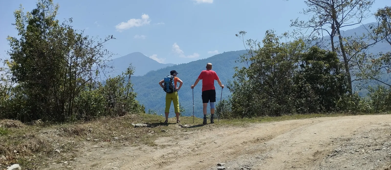
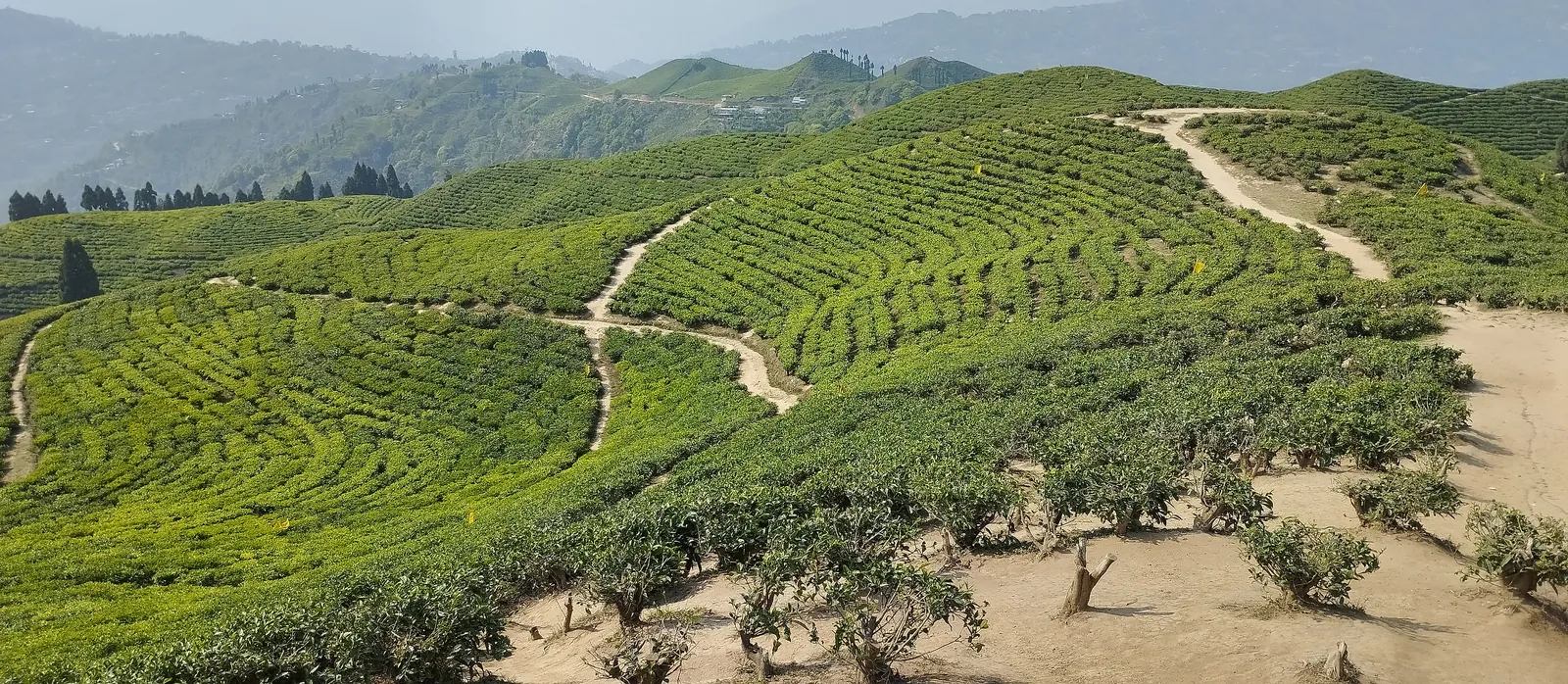
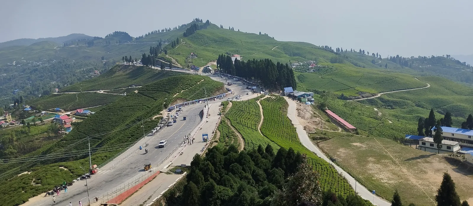
A week after the Sele La snow, half of us were in T-shirts under a blue sky, looking back over the forested hills from a dusty road. Taplejung bazaar spread across its hillside below. Then the drive south through the Kanyam tea gardens at about 1,600m, rows of bright green bushes curving over every hill. Ask the driver to stop. It's worth it.
12 May 2023 · Day 21: fly Bhadrapur to Kathmandu
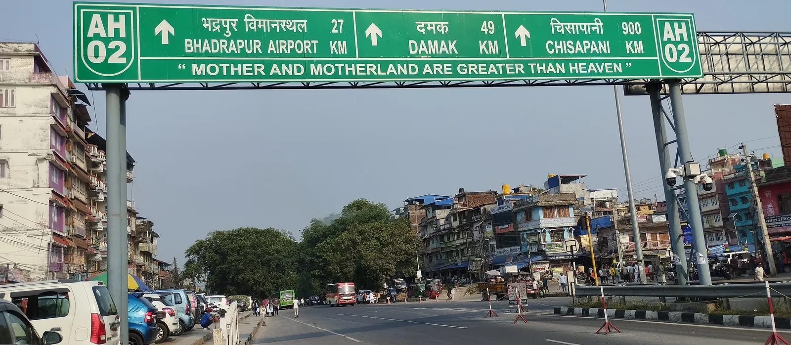
The last photo of the trip is a highway gantry: 27km to Bhadrapur Airport. The flight to Kathmandu left that afternoon.
What the photos tell you
Put in order, spring on Kanchanjunga is two trips in one. Warm, hazy farmland and bamboo for the first days. Then, above Ghunsa, bare birch, fresh snow on the ridges at dawn, cloud by late morning, and a Sele La crossing that was white from one side to the other.
It's also a trail where you can pass more yak herders than fellow trekkers in a day. Spring on the Everest or Annapurna trails doesn't look like that. On Kanchanjunga the restricted-area rules and the sheer distance keep it quiet.
If this makes you want to go, start with our Kanchanjunga Trek guide for permits, difficulty and who the route suits. It's a trek for people who've already crossed a high pass. If you haven't yet, our own Manaslu Circuit journal shows a very good first one, and you can read about the whole circuit in our Manaslu Circuit Trek guide.
Frequently asked
When did you do this Kanchanjunga trek?
From 25 April to 12 May 2023: walking out of Taplejung on 25 April, reaching Ghunsa on 29 April and Khambachen on 30 April, crossing the Sele La on 3 May, and flying back to Kathmandu from Bhadrapur on 12 May.
Did you reach Pangpema on this trip?
No. This group went up the north side as far as Khambachen and the trail toward Jannu, came back to Ghunsa and crossed the Sele La from there, so there are no photos from Lhonak or Pangpema.
Was there snow on the Kanchanjunga Trek in early May?
Yes, on the high ground. There was fresh snow on the ridge above Ghunsa on 30 April, and the Sele La crossing on 3 May was snow-covered at about 4,570m.
Are these your own photos?
Yes. All 23 photos were taken by our team on the trip, and each entry is dated from the photos' own GPS and time stamps.
Is Kanchenjunga the same as Kanchanjunga?
Yes. Both spellings are used for the same mountain and trek; we use Kanchanjunga across our site.